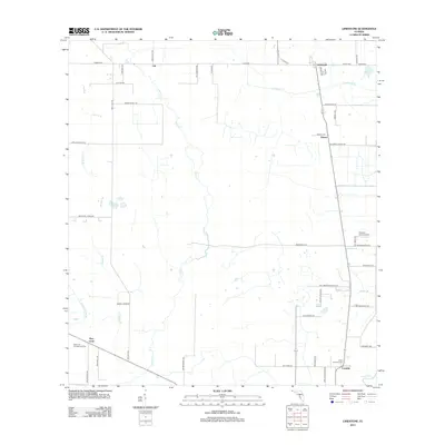
2012 Map of Limestone
USGS Topo · Published 2012About this map
Horse Cr and its many tributaries, including Brandy Br and Limestone Cr, dominate this section of the Florida interior. Small agricultural settlements are scattered throughout the landscape, connected by a network of rural roads such as Co Hwy-661 and Bethel Farms Rd. In the south, the Peace River cuts through the terrain near the community of Lansing. Local heritage is anchored by sites like the Pine Level Campground Cem near Pine Level and the Lamp Grounds Cem further east. The presence of the Frierson Grove Airport near Kinsey indicates the continued utility of small-scale aviation in this region. This survey captures a moment in the early 21st century when the traditional rural character of communities like Lily and Limestone remained preserved amidst the drainage basins of the western Florida peninsula.
Find a feature on this map
52 named features on this map. Tap any name to fly to it.
Don’t see what you’re looking for? This feature index may not catch every label — zoom into the map to look around manually.
Map Details
Editions of this 2012 Limestone Map
This is the sole edition of this map. No revisions or reprints were ever made.
Other maps of this area

1956 · Gardner
USGS Topo · 1:24,000

1956 · Ona
USGS Topo · 1:24,000

1956 · Edgeville
USGS Topo · 1:24,000

1956 · Murdock NE
USGS Topo · 1:24,000

1956 · Myakka Head
USGS Topo · 1:24,000

1956 · Limestone
USGS Topo · 1:24,000

1956 · Zolfo Springs
USGS Topo · 1:24,000

1956 · Nocatee
USGS Topo · 1:24,000

1956 · Tampa
USGS Topo · 1:250,000

1956 · Fort Pierce
USGS Topo · 1:250,000