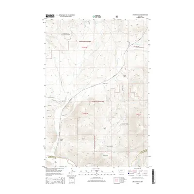
2014 Map of Lincoln Gulch
USGS Topo · Published 2014About this map
Lincoln Gulch and the high basins of the Anaconda Range define this terrain where the Deerlodge National Forest and Beaverhead National Forest meet. The landscape is deeply carved by a series of numbered and named drainages, including Twelvemile Creek and Slaughterhouse Creek, which feed into the Big Hole River at the southern edge of the sheet. Modern forest access is traced through routes like Mill Creek Road and French Gulch Road, serving the recreation-focused areas of Lincoln Park and Mariah Meadows. The transition from the high peaks of Bear Mountain down to the gulches reflects a classic Montana pattern of alpine headwaters and narrow canyon settlements.
Find a feature on this map
52 named features on this map. Tap any name to fly to it.
Don’t see what you’re looking for? This feature index may not catch every label — zoom into the map to look around manually.
Map Details
Editions of this 2014 Lincoln Gulch Map
This is the sole edition of this map. No revisions or reprints were ever made.
Other maps of this area

1889 · Helena
USGS Topo · 1:250,000

1893 · Helena
USGS Topo · 1:250,000

1893 · Dillon
USGS Topo · 1:250,000

1899 · Helena
USGS Topo · 1:250,000

1903 · Helena
USGS Topo · 1:250,000

1908 · Philipsburg
USGS Topo · 1:125,000

1947 · Butte
USGS Topo · 1:250,000

1955 · Dillon
USGS Topo · 1:250,000

1957 · Dillon
USGS Topo · 1:250,000

1958 · Butte
USGS Topo · 1:250,000