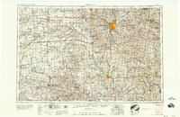
1958 Map of Lincoln
USGS Topo · Published 1958About this map
The Lincoln metropolitan area and the fertile plains of southeast Nebraska are documented in this 1958 survey, showing a landscape defined by its river valleys and established rail lines. The Big Blue River and Little Blue River carve through the agricultural heartland, connecting settlements like Beatrice, Seward, and Fairbury. Outside the state capital, the map details significant federal footprints such as the Lincoln AFB and the U.S. Veterans Hospital.
Find a feature on this map
196 named features on this map. Tap any name to fly to it.
Don’t see what you’re looking for? This feature index may not catch every label — zoom into the map to look around manually.
Map Details
Editions of this 1958 Lincoln Map
This is the sole edition of this map. No revisions or reprints were ever made.
Other maps of this area
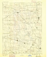
1888 · Hiawatha
USGS Topo · 1:125,000
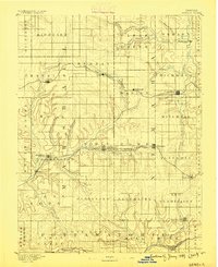
1889 · Seneca
USGS Topo · 1:125,000
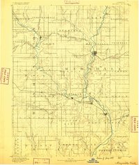
1889 · Marysville
USGS Topo · 1:125,000
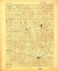
1892 · Concordia
USGS Topo · 1:125,000
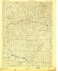
1893 · Washington
USGS Topo · 1:125,000
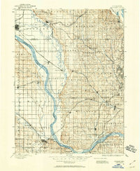
1893 · Fremont
USGS Topo · 1:125,000
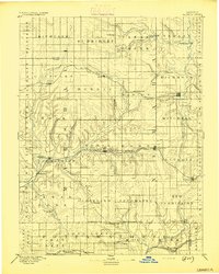
1894 · Seneca
USGS Topo · 1:125,000
1894 · Mankato
USGS Topo · 1:125,000
1894 · Hiawatha
USGS Topo · 1:125,000
1894 · Marysville
USGS Topo · 1:125,000