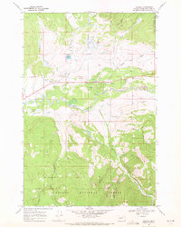
1968 Map of Lincoln
USGS Topo · Published 1971About this map
Lincoln serves as the central hub of this late-1960s valley landscape, positioned where the Blackfoot River flows through the southern reaches of the Helena National Forest. The map captures a transitional mountain economy, balancing aviation and recreation with traditional resource extraction. To the west of the main settlement, a Rodeo Ground and Hooper State Park signal the area's importance for local gatherings and tourism, while several Gravel Pits and scattered Mine or Prospect labels indicate ongoing mineral interest in the surrounding gulches.
Find a feature on this map
72 named features on this map. Tap any name to fly to it.
Don’t see what you’re looking for? This feature index may not catch every label — zoom into the map to look around manually.
Map Details
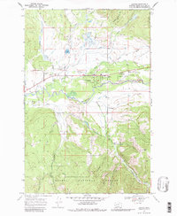
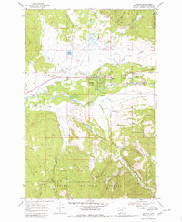
Editions of this 1968 Lincoln Map
3 editions found
Other maps of this area

1889 · Helena
USGS Topo · 1:250,000

1893 · Helena
USGS Topo · 1:250,000

1899 · Helena
USGS Topo · 1:250,000

1903 · Coopers Lake
USGS Topo · 1:125,000

1903 · Helena
USGS Topo · 1:250,000

1947 · Butte
USGS Topo · 1:250,000

1955 · Choteau
USGS Topo · 1:250,000

1957 · Choteau
USGS Topo · 1:250,000

1958 · Butte
USGS Topo · 1:250,000

1958 · Choteau
USGS Topo · 1:250,000