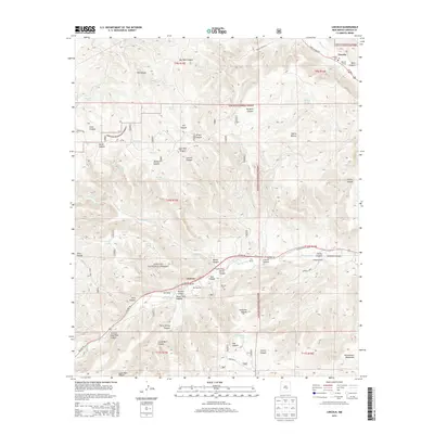
2013 Map of Lincoln
USGS Topo · Published 2013About this map
The Lincoln National Forest surrounds the high mountain valleys of south-central New Mexico, where the historic settlement of Lincoln and the community of Glencoe follow the winding paths of the Rio Bonito and Rio Ruidoso. This landscape is defined by its ranching heritage and geographic prominence, anchored by the peak of Sierra Blanca. The map details numerous family-held lands, including Bonnell Ranch, Hatt Ranch, and Rancho Torres, alongside several historic burial grounds such as Lincoln Cem, Coe Cem, and Glencoe Cem. The terrain is deeply incised by named canyons like Tunstall Canyon and Vorwerk Canyon, which descend into the broader valleys that have historically served as the lifelines for transportation and agriculture in this corner of the Sacramento Mountains. Small-scale water sources like Water Hole and Perry Spring indicate the critical nature of water management in this arid environment.
Find a feature on this map
67 named features on this map. Tap any name to fly to it.
Don’t see what you’re looking for? This feature index may not catch every label — zoom into the map to look around manually.
Map Details
Editions of this 2013 Lincoln Map
This is the sole edition of this map. No revisions or reprints were ever made.
Other maps of this area

1934 · Capitan
USGS Topo · 1:48,000

1935 · Capitan Mountains
USGS Topo · 1:48,000

1937 · Capitan
USGS Topo · 1:62,500

1940 · Capitan Mountains
USGS Topo · 1:62,500

1955 · Roswell
USGS Topo · 1:250,000

1958 · Roswell
USGS Topo · 1:250,000

1961 · Lincoln
USGS Topo · 1:62,500

1962 · Roswell
USGS Topo · 1:250,000

1963 · Fort Stanton
USGS Topo · 1:24,000

1963 · Ruidoso Downs
USGS Topo · 1:24,000