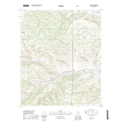
2023 Map of Lincoln
USGS Topo · Published 2023About this map
The settlement of Lincoln and the community at Glencoe anchor this view of the high desert and mountain canyons within the Lincoln National Forest. Situated between the Sacramento Mountains and the heights of Sierra Blanca, the landscape is defined by the vital drainages of Rio Bonito to the north and Rio Ruidoso to the south. Historically significant sites for researchers include the Lincoln Cem, Glencoe Cem, and the George Coe Cem, which speak to the region's ranching and frontier heritage.
Find a feature on this map
62 named features on this map. Tap any name to fly to it.
Don’t see what you’re looking for? This feature index may not catch every label — zoom into the map to look around manually.
Map Details
Editions of this 2023 Lincoln Map
This is the sole edition of this map. No revisions or reprints were ever made.
Other maps of this area

1934 · Capitan
USGS Topo · 1:48,000

1935 · Capitan Mountains
USGS Topo · 1:48,000

1937 · Capitan
USGS Topo · 1:62,500

1940 · Capitan Mountains
USGS Topo · 1:62,500

1955 · Roswell
USGS Topo · 1:250,000

1958 · Roswell
USGS Topo · 1:250,000

1961 · Lincoln
USGS Topo · 1:62,500

1962 · Roswell
USGS Topo · 1:250,000

1963 · Fort Stanton
USGS Topo · 1:24,000

1963 · Ruidoso Downs
USGS Topo · 1:24,000