
1961 Map of Lincoln
USGS Topo · Published 1964About this map
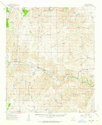
Lincoln and its surrounding canyonlands in the early 1960s reveal a landscape defined by the convergence of the Rio Bonito and Rio Ruidoso to form the Rio Hondo. This drainage system dictates the settlement patterns of the era, with small communities and family-run operations like Bonnel Ranch and Wilbur McKnight Ranch hugging the narrow fertile valleys. The map illustrates a transitional zone where the Lincoln National Forest meets the northern boundary of the Mescalero Apache Indian Reservation.
Find a feature on this map
71 named features on this map. Tap any name to fly to it.
Don’t see what you’re looking for? This feature index may not catch every label — zoom into the map to look around manually.
Map Details
Editions of this 1961 Lincoln Map
This is the sole edition of this map. No revisions or reprints were ever made.
Other maps of this area

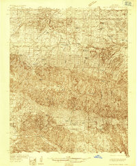
1934 · Capitan
USGS Topo · 1:48,000
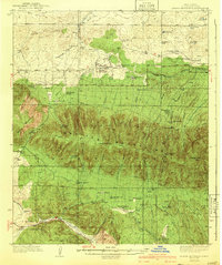
1935 · Capitan Mountains
USGS Topo · 1:48,000
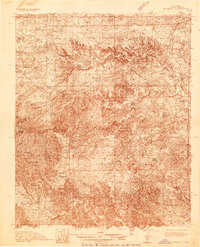
1936 · Arabela
USGS Topo · 1:48,000

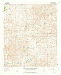
1937 · Capitan
USGS Topo · 1:62,500
1940 · Capitan Mountains
USGS Topo · 1:62,500

1942 · Arabela
USGS Topo · 1:62,500

1955 · Roswell
USGS Topo · 1:250,000

1958 · Roswell
USGS Topo · 1:250,000
1961 · Flying H
USGS Topo · 1:62,500
1961 · Tinnie
USGS Topo · 1:62,500