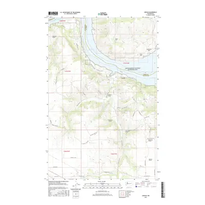
2017 Map of Lincoln
USGS Topo · Published 2017About this map
Lincoln sits at the northern edge of this Washington landscape, overlooking the expansive waters of Franklin D Roosevelt Lake and the Columbia River. This area is defined by a dense network of geological features, where the highland plateaus are deeply cut by numerous named drainages. Notable among these are Redwine Canyon, McDowell Canyon, and the curiously named Moonshine Canyon further south. The Lake Roosevelt National Recreation Area spans the riverfront, highlighting the region's shift toward conservation and public access. To the south, the terrain opens into Bachelor Prairie, a flatter expanse bordered by drainage systems like Welsh Creek. The map details a web of rural routes such as McDowell Canyon Rd and Miles Creston Rd N, tracing the paths through the high country above Welsh Creek Cove.
Find a feature on this map
52 named features on this map. Tap any name to fly to it.
Don’t see what you’re looking for? This feature index may not catch every label — zoom into the map to look around manually.
Map Details
Editions of this 2017 Lincoln Map
This is the sole edition of this map. No revisions or reprints were ever made.
Other maps of this area

1948 · Wilbur
USGS Topo · 1:62,500

1948 · Lincoln
USGS Topo · 1:62,500

1950 · Lincoln
USGS Topo · 1:62,500

1950 · Wilbur
USGS Topo · 1:62,500

1953 · Ritzville
USGS Topo · 1:250,000

1959 · Ritzville
USGS Topo · 1:250,000

1965 · Ritzville
USGS Topo · 1:250,000

1969 · Telford
USGS Topo · 1:24,000

1969 · Rocklyn
USGS Topo · 1:24,000

1969 · Creston Butte
USGS Topo · 1:24,000