
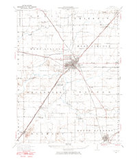
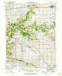
1985 Map of Lincoln
USGS Topo · Published 1985About this map
The central Illinois prairie landscape around Lincoln is defined by the convergence of the Salt Creek and Sugar Creek watersheds, set against an extensive grid of agricultural land and rural rail corridors. By the mid-1980s, the region's transport network was dominated by the I-55 corridor, though the historic tracks of the Illinois Central Gulf and Chicago and North Western railroads continue to link established grain-stop towns like Atlanta, Mason City, and Mount Pulaski. In the west, the Illinois River bottoms create a distinct ecological zone, preserved within the Chautauqua National Wildlife Refuge and the Rice Lake State Conservation Area. This survey documents a transitional era for the local economy, capturing the presence of specialized aviation sites like Pekin Muni Airport and Havana Airport alongside long-standing local landmarks such as The Mound and the Rocky Ford Br Quarries.
Find a feature on this map
152 named features on this map. Tap any name to fly to it.
Don’t see what you’re looking for? This feature index may not catch every label — zoom into the map to look around manually.
Map Details
Editions of this 1985 Lincoln Map
This is the sole edition of this map. No revisions or reprints were ever made.
Other maps of this area
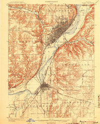
1905 · Peoria
USGS Topo · 1:62,500

1907 · Springfield
USGS Topo · 1:62,500

1909 · Tallula
USGS Topo · 1:62,500
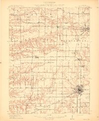
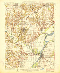
1911 · Lincoln
USGS Topo · 1:62,500
1912 · Canton
USGS Topo · 1:62,500
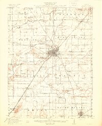
1913 · Lincoln
USGS Topo · 1:62,500
1925 · Havana
USGS Topo · 1:62,500

1926 · Normal
USGS Topo · 1:62,500

1927 · Peoria
USGS Topo · 1:62,500
1927 · Danvers
USGS Topo · 1:62,500