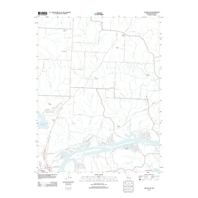
2011 Map of Lincoln SE
USGS Topo · Published 2011About this map
Vincent Cemetery, Short Cemetery, and Bird Cemetery dot the landscape north of the Osage River, marking the legacy of rural families in this part of Benton County. This 2011 survey illustrates the complex geography created by major water management projects, where the Harry S Truman Reservoir and its associated Sterett Creek Dike meet the upper reaches of the Lake Of the Ozarks. The map reveals a transition from traditional agricultural land use, evidenced by the Lincoln Lookout Tower and various rural roads like Division, to modern recreational developments such as Sterett Creek Village Dr. Smaller watercourses including Duran Creek, Negro Creek, and Feaster Branch create a dendritic drainage pattern that defines the local topography, while the small settlement of Crawford sits near the river's edge, reflecting the enduring connection between local communities and the waterfront.
Find a feature on this map
67 named features on this map. Tap any name to fly to it.
Don’t see what you’re looking for? This feature index may not catch every label — zoom into the map to look around manually.
Map Details
Editions of this 2011 Lincoln SE Map
This is the sole edition of this map. No revisions or reprints were ever made.
Other maps of this area

1887 · Warsaw
USGS Topo · 1:125,000

1894 · Warsaw
USGS Topo · 1:125,000

1935 · Edwards
USGS Topo · 1:24,000

1935 · Dell
USGS Topo · 1:24,000

1936 · Shawnee Bend
USGS Topo · 1:24,000

1936 · Lakeview Heights
USGS Topo · 1:24,000

1936 · Schuyler
USGS Topo · 1:24,000

1945 · Fristoe
USGS Topo · 1:62,500

1947 · Jefferson City
USGS Topo · 1:250,000

1954 · Jefferson City
USGS Topo · 1:250,000