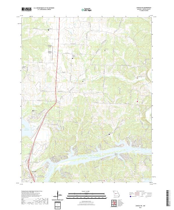
2021 Map of Lincoln SE
USGS Topo · Published 2021About this map
Lake of the Ozarks and the eastern edge of Warsaw define the geography of this Benton County region, where the Osage River valley meets the southern plains. The landscape is deeply carved by drainage systems like Duran Cr and Lemon Br, creating notable depressions such as Sweatman Hollow and Townes Hollow. This modern survey illustrates the complex intersection of early settlement roots and contemporary infrastructure, with the Warsaw Municipal Airport situated near historic family burial grounds including Vincent Cem and Mount Pleasant Cem. The map provides a detailed view of the reservoir shoreline, tracing the northern reaches of the Harry S Truman Reservoir as it transitions into the main body of the lake. Local landmarks like Bird Cem and Black Oak Cem remain preserved along a network of county roads, offering a clear picture of rural continuity.
Find a feature on this map
101 named features on this map. Tap any name to fly to it.
Don’t see what you’re looking for? This feature index may not catch every label — zoom into the map to look around manually.
Map Details
Editions of this 2021 Lincoln SE Map
This is the sole edition of this map. No revisions or reprints were ever made.
Other maps of this area

1887 · Warsaw
USGS Topo · 1:125,000

1894 · Warsaw
USGS Topo · 1:125,000

1935 · Edwards
USGS Topo · 1:24,000

1935 · Dell
USGS Topo · 1:24,000

1936 · Shawnee Bend
USGS Topo · 1:24,000

1936 · Lakeview Heights
USGS Topo · 1:24,000

1936 · Schuyler
USGS Topo · 1:24,000

1945 · Fristoe
USGS Topo · 1:62,500

1947 · Jefferson City
USGS Topo · 1:250,000

1954 · Jefferson City
USGS Topo · 1:250,000