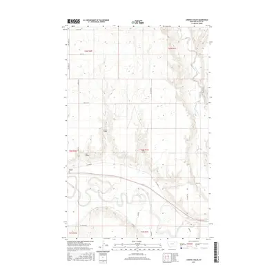
2017 Map of Lindeke Coulee
USGS Topo · Published 2017About this map
The Milk River meanders across the southern portion of this landscape, its wide floodplain carving a distinct path through the higher plains of Valley County. This area is defined by the significant drainage systems of Lindeke Coulee, Hay Coulee, and Espeil Coulee, which channel runoff from the northern plateaus toward the river valley. To the northeast, the winding course of Porcupine Cr adds to the complex hydrography of the region.
Find a feature on this map
26 named features on this map. Tap any name to fly to it.
Don’t see what you’re looking for? This feature index may not catch every label — zoom into the map to look around manually.
Map Details
Editions of this 2017 Lindeke Coulee Map
This is the sole edition of this map. No revisions or reprints were ever made.
Other maps of this area

1914 · Nashua
USGS Topo · 1:62,500

1916 · Nashua
USGS Topo · 1:62,500

1918 · Porcupine Valley
USGS Topo · 1:62,500

1943 · Glasgow
USGS Topo · 1:125,000

1954 · Glasgow
USGS Topo · 1:250,000

1957 · Glasgow
USGS Topo · 1:250,000

1958 · Glasgow
USGS Topo · 1:250,000

1958 · Wheeler
USGS Topo · 1:24,000

1958 · Whately
USGS Topo · 1:24,000

1969 · Hawk Coulee
USGS Topo · 1:24,000