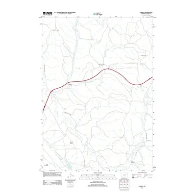
2012 Map of Linden
USGS Topo · Published 2012About this map
Linden stands as a primary landmark in this section of Crook County, where the landscape is defined by a series of high ridges and water-carved breaks. The drainage systems of Inyan Kara Cr and Houston Cr shape the terrain, leading into more complex geographical features like Montgomery Canyon and Dark Canyon. This 2012 survey illustrates the connectivity of the region through established routes such as the Sundance-Wind River Rd and Simmons Cutoff Rd, which navigate around prominent elevations like Newman Divide and Coal Divide.
Find a feature on this map
23 named features on this map. Tap any name to fly to it.
Don’t see what you’re looking for? This feature index may not catch every label — zoom into the map to look around manually.
Map Details
Editions of this 2012 Linden Map
This is the sole edition of this map. No revisions or reprints were ever made.
Other maps of this area

1898 · Sundance
USGS Topo · 1:125,000

1902 · Sundance
USGS Topo · 1:125,000

1918 · Moorcroft
USGS Topo · 1:125,000

1954 · Sunny Divide
USGS Topo · 1:24,000

1954 · Gillette
USGS Topo · 1:250,000

1955 · Gillette
USGS Topo · 1:250,000

1957 · Nefsy Divide
USGS Topo · 1:62,500

1957 · Upton
USGS Topo · 1:62,500

1958 · Gillette
USGS Topo · 1:250,000
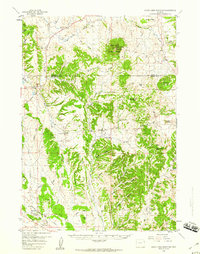
1958 · Inyan Kara Mountain
USGS Topo · 1:62,500