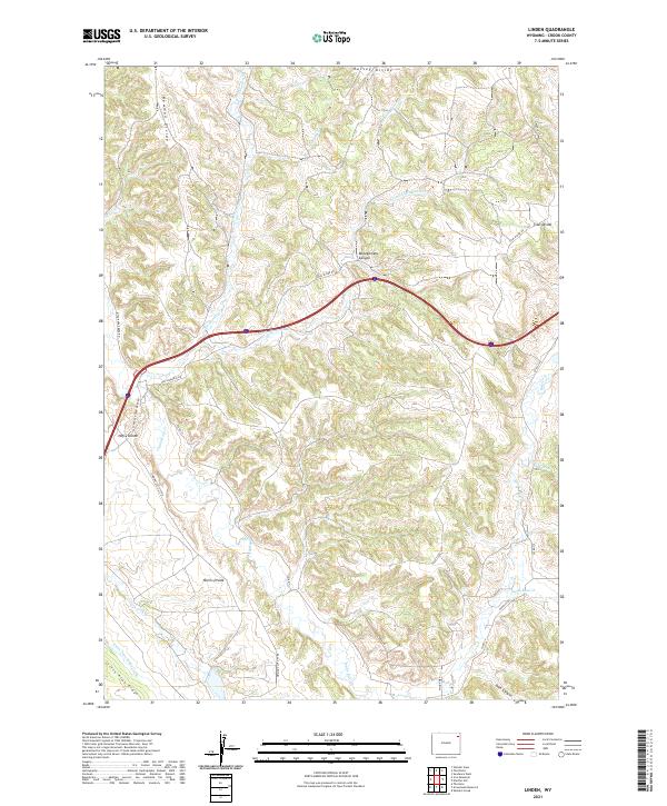
2021 Map of Linden
USGS Topo · Published 2021About this map
Harvey Divide and a series of high ridges define the drainage patterns of this corner of Crook County. The landscape is carved by watercourses like Houston Cr and the S Fork Little Houston Cr, which flow through the northern reaches, while Inyan Kara Cr and Beaver Cr navigate the southern terrain. This topography created natural corridors for early travel, reflected in the network of historic routes such as Old Sundance Rd and the Sundance-Wind River Rd.
Find a feature on this map
33 named features on this map. Tap any name to fly to it.
Don’t see what you’re looking for? This feature index may not catch every label — zoom into the map to look around manually.
Map Details
Editions of this 2021 Linden Map
This is the sole edition of this map. No revisions or reprints were ever made.
Other maps of this area

1898 · Sundance
USGS Topo · 1:125,000

1902 · Sundance
USGS Topo · 1:125,000

1918 · Moorcroft
USGS Topo · 1:125,000

1954 · Sunny Divide
USGS Topo · 1:24,000

1954 · Gillette
USGS Topo · 1:250,000

1955 · Gillette
USGS Topo · 1:250,000

1957 · Nefsy Divide
USGS Topo · 1:62,500

1957 · Upton
USGS Topo · 1:62,500

1958 · Gillette
USGS Topo · 1:250,000
1958 · Inyan Kara Mountain
USGS Topo · 1:62,500