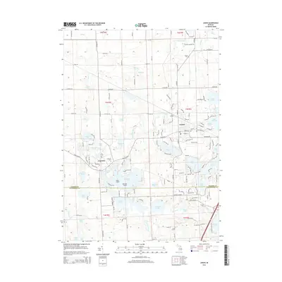
2014 Map of Linden
USGS Topo · Published 2014About this map
Linden and Argentine anchor this landscape along the border of Genesee and Livingston counties. The topography is defined by an intricate network of glacial lakes and wetlands, connected by the Shiawassee River. Larger water bodies like Lobdell Lake, Lake Ponemah, and Byram Lake shape the local residential and recreational patterns, while smaller features like Softwater Lake and Blue Gill Island dot the map. Genealogists will find significant value in the documentation of local burial grounds, including Argentine Cem, Fairview Cem, and the more secluded Clough Hill Cem. Transport history is represented by Linden Station and Price's Airport, showing how the area evolved from its rail roots to modern aviation and road networks like Linden Rd and Seymour Rd.
Find a feature on this map
161 named features on this map. Tap any name to fly to it.
Don’t see what you’re looking for? This feature index may not catch every label — zoom into the map to look around manually.
Map Details
Editions of this 2014 Linden Map
This is the sole edition of this map. No revisions or reprints were ever made.
Other maps of this area

1907 · Howell
USGS Topo · 1:62,500

1909 · Howell
USGS Topo · 1:62,500

1909 · Milford
USGS Topo · 1:62,500

1920 · Holly
USGS Topo · 1:62,500

1922 · Holly
USGS Topo · 1:62,500

1922 · Durand
USGS Topo · 1:62,500

1943 · Holly
USGS Topo · 1:62,500

1943 · Durand
USGS Topo · 1:62,500

1954 · Detroit
USGS Topo · 1:250,000

1961 · Detroit
USGS Topo · 1:250,000