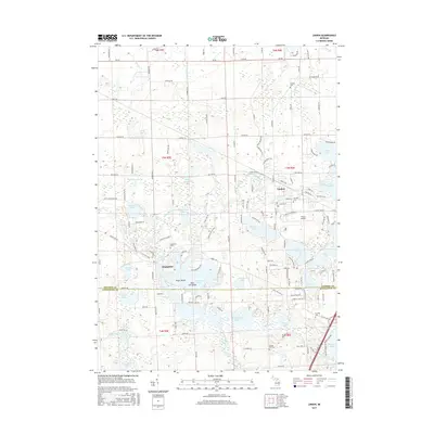
2017 Map of Linden
USGS Topo · Published 2017About this map
Linden and the village of Argentine anchor this landscape along the Genesee Co Livingston Co border. The area is defined by an intricate network of glacial lakes and waterways, with the Shiawassee River winding through the center, connecting Shiawassee Lake and Tupper Lake. For those researching local families, the map includes several burial sites such as Kimball Cem, Fairview Cem, and Argentine Cem.
Find a feature on this map
161 named features on this map. Tap any name to fly to it.
Don’t see what you’re looking for? This feature index may not catch every label — zoom into the map to look around manually.
Map Details
Editions of this 2017 Linden Map
This is the sole edition of this map. No revisions or reprints were ever made.
Other maps of this area

1907 · Howell
USGS Topo · 1:62,500

1909 · Howell
USGS Topo · 1:62,500

1909 · Milford
USGS Topo · 1:62,500

1920 · Holly
USGS Topo · 1:62,500

1922 · Holly
USGS Topo · 1:62,500

1922 · Durand
USGS Topo · 1:62,500

1943 · Holly
USGS Topo · 1:62,500

1943 · Durand
USGS Topo · 1:62,500

1954 · Detroit
USGS Topo · 1:250,000

1961 · Detroit
USGS Topo · 1:250,000