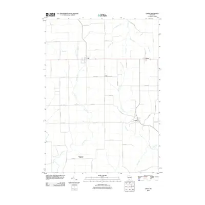
2010 Map of Linden
USGS Topo · Published 2010About this map
The Linden area of Iowa County is defined by its agricultural heritage and a dendritic network of streams feeding the Pecatonica River. This landscape is punctuated by the small settlements of Cobb and Edmund, which sit along the northern east-west corridor, while Linden occupies the eastern central terrain. The rural character of the region is further evidenced by family-named infrastructure and landmarks like Thomas Cemetery and the Robert Coyler G9994 Dam.
Find a feature on this map
50 named features on this map. Tap any name to fly to it.
Don’t see what you’re looking for? This feature index may not catch every label — zoom into the map to look around manually.
Map Details
Editions of this 2010 Linden Map
This is the sole edition of this map. No revisions or reprints were ever made.
Other maps of this area

1902 · Mineral Point
USGS Topo · 1:125,000

1905 · Richland Center
USGS Topo · 1:125,000

1952 · Rewey
USGS Topo · 1:24,000

1952 · Montfort
USGS Topo · 1:24,000

1952 · Mineral Point
USGS Topo · 1:24,000

1952 · Dodgeville
USGS Topo · 1:24,000

1952 · Linden
USGS Topo · 1:24,000

1952 · Mifflin
USGS Topo · 1:24,000

1958 · La Crosse
USGS Topo · 1:250,000

1959 · Dubuque
USGS Topo · 1:250,000