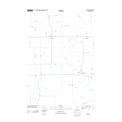
2013 Map of Linden
USGS Topo · Published 2013About this map
Linden and Cobb anchor this Wisconsin landscape, where the agricultural grid meets the winding headwaters of the Pecatonica River. This 2013 survey illustrates the enduring rural structure of Iowa County, showing how the small settlement of Edmund remains situated along the primary thoroughfare of Us-18. The terrain is defined by a dense network of tributaries including Sudan Br, Peddler Cr, and Cave Hollow Cr, which carve through the farmland between established routes like State Road 39 and State Road 80. To the northwest, the Blue River emerges, signaling the drainage divide that characterizes this part of the Driftless Area. The map captures a moment of modern continuity in these long-standing lead-mining region communities, preserving the specific placement of local roads like Union Valley Rd and Sinbad Rd alongside older property boundaries.
Find a feature on this map
57 named features on this map. Tap any name to fly to it.
Don’t see what you’re looking for? This feature index may not catch every label — zoom into the map to look around manually.
Map Details
Editions of this 2013 Linden Map
This is the sole edition of this map. No revisions or reprints were ever made.
Other maps of this area

1902 · Mineral Point
USGS Topo · 1:125,000

1905 · Richland Center
USGS Topo · 1:125,000

1952 · Rewey
USGS Topo · 1:24,000

1952 · Montfort
USGS Topo · 1:24,000

1952 · Mineral Point
USGS Topo · 1:24,000

1952 · Dodgeville
USGS Topo · 1:24,000

1952 · Linden
USGS Topo · 1:24,000

1952 · Mifflin
USGS Topo · 1:24,000

1958 · La Crosse
USGS Topo · 1:250,000

1959 · Dubuque
USGS Topo · 1:250,000