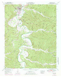
1950 Map of Linden
USGS Topo · Published 1984About this map
The Buffalo River carves a winding path through this mid-century landscape, anchoring the community of Linden and its surrounding rural settlements. The terrain is defined by a complex network of hollows—such as Slickrock Hollow and Journey Hollow—and the prominent ridges of Sassafras Stand Ridge. This survey reveals a pattern of dispersed homesteads and social centers typical of the Tennessee Highland Rim, where life centered on the fertile river bottoms and valley floors like Farmers Valley.
Find a feature on this map
103 named features on this map. Tap any name to fly to it.
Don’t see what you’re looking for? This feature index may not catch every label — zoom into the map to look around manually.
Map Details
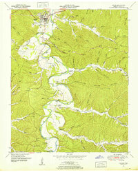
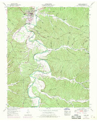
Editions of this 1950 Linden Map
3 editions found
Other maps of this area

1905 · Waynesboro
USGS Topo · 1:125,000

1936 · Graves Spring
USGS Topo · 1:24,000

1936 · Pleasantville
USGS Topo · 1:24,000

1936 · Pine View
USGS Topo · 1:24,000

1936 · Linden
USGS Topo · 1:24,000

1936 · Leatherwood
USGS Topo · 1:24,000

1936 · Clifton
USGS Topo · 1:24,000

1936 · Chestnut Grove
USGS Topo · 1:24,000

1936 · Topsy
USGS Topo · 1:24,000

1936 · Pope
USGS Topo · 1:24,000