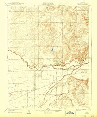
1908 Map of Linden
USGS Topo · Published 1942About this map
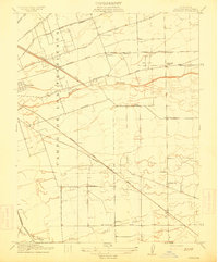
The agricultural landscape of the San Joaquin Valley is defined here by the winding course of the Calaveras River and the critical irrigation network of Mormon Slough. This 1908 survey, reprinted in the 1940s, shows the area during an era when rural life was anchored by small local hubs like Linden and Bellota. The topography reveals a distinct transition from the flat valley floor to the low foothills in the east, where Duck Creek emerges from the higher ground. The placement of Grant School and Bellota School highlights the decentralized nature of early 20th-century California education, where schools were strategically located to serve dispersed farming families. The presence of benchmark points like BM 130 underscores the early surveying efforts to manage water flow and elevation across this vital drainage basin.
Find a feature on this map
9 named features on this map. Tap any name to fly to it.
Don’t see what you’re looking for? This feature index may not catch every label — zoom into the map to look around manually.
Map Details
Editions of this 1908 Linden Map
2 editions found
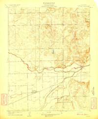
Other maps of this area

1889 · Jackson
USGS Topo · 1:125,000

1892 · Jackson
USGS Topo · 1:125,000

1894 · Lodi
USGS Topo · 1:125,000

1897 · Jackson
USGS Topo · 1:125,000

1902 · Jackson
USGS Topo · 1:125,000

1908 · Waterloo
USGS Topo · 1:31,680
1908 · Linden
USGS Topo · 1:31,680
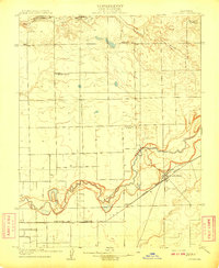
1908 · Lockeford
USGS Topo · 1:31,680
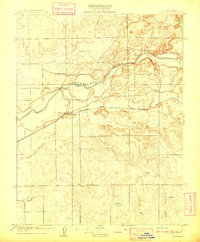
1909 · Clements
USGS Topo · 1:31,680
1914 · Burnham
USGS Topo · 1:31,680