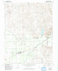
1968 Map of Linden
USGS Topo · Published 1993About this map
The town of Linden anchors this late-1960s agricultural landscape, where the flatlands of the San Joaquin Valley meet the rising terrain to the east. This survey documents a critical water management network, featuring the prominent Mokelumne Aqueduct traversing the northern portion and the controlled flows of the Calaveras River and Mormon Slough. The rural settlement at Bellota sits near a diversion Dam and reservoir, where the Spillway Elev 136 marks the local water levels. Local researchers can identify the community's mid-century infrastructure, including the Jr High Sch, High Sch, and a local Cemetary. The landscape is heavily defined by its irrigation needs, evidenced by the numerous marked wells and the intricate grid of family-named roads like Smith Rd and Archerdale Road that service the surrounding orchards and fields.
Find a feature on this map
37 named features on this map. Tap any name to fly to it.
Don’t see what you’re looking for? This feature index may not catch every label — zoom into the map to look around manually.
Map Details
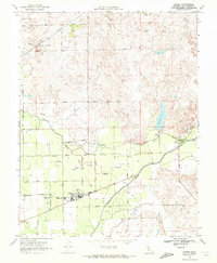
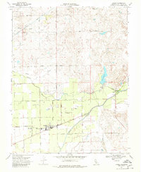
Editions of this 1968 Linden Map
3 editions found
Other maps of this area

1889 · Jackson
USGS Topo · 1:125,000

1892 · Jackson
USGS Topo · 1:125,000

1894 · Lodi
USGS Topo · 1:125,000

1897 · Jackson
USGS Topo · 1:125,000

1902 · Jackson
USGS Topo · 1:125,000

1908 · Waterloo
USGS Topo · 1:31,680

1908 · Linden
USGS Topo · 1:31,680

1908 · Lockeford
USGS Topo · 1:31,680

1909 · Clements
USGS Topo · 1:31,680

1914 · Burnham
USGS Topo · 1:31,680