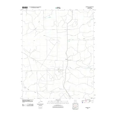
2010 Map of Lindrith
USGS Topo · Published 2010About this map
Lindrith serves as the central hub of this Rio Arriba County landscape, where the high desert terrain is defined by deep drainage systems and scattered high-altitude lakes. The local economy and infrastructure are grounded in the Lindrith Post Office and the Lindrith Airpark, reflecting the region's reliance on aerial and road connectivity. The topography is dominated by extensive canyon systems, including Gavilan Canyon, Oso Canyon, and the broad reaches of Cañada Larga.
Find a feature on this map
30 named features on this map. Tap any name to fly to it.
Don’t see what you’re looking for? This feature index may not catch every label — zoom into the map to look around manually.
Map Details
Editions of this 2010 Lindrith Map
This is the sole edition of this map. No revisions or reprints were ever made.
Other maps of this area

1889 · Largo
USGS Topo · 1:250,000

1895 · Largo
USGS Topo · 1:250,000

1909 · Gallina
USGS Topo · 1:125,000

1940 · Cuba
USGS Topo · 1:62,500

1943 · Cuba
USGS Topo · 1:62,500

1954 · Aztec
USGS Topo · 1:250,000

1955 · Llaves
USGS Topo · 1:62,500

1958 · Aztec
USGS Topo · 1:250,000

1962 · Aztec
USGS Topo · 1:250,000

1963 · Schmitz Ranch
USGS Topo · 1:24,000