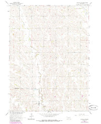
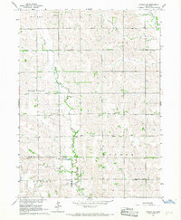
1966 Map of Lindsay SW
USGS Topo · Published 1985About this map
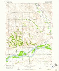
Looking Glass Creek winds through the rolling hills of this rural Platte County landscape during the mid-1960s. The area is defined by its agrarian structure, where country life centers on long-standing parish and educational hubs like Bethany Ch and Palestine Ch. A significant historical landmark is the Old Indian Treaty Boundary, which cuts horizontally across the map, separating the surveyed sections of Platte and Nance counties. This line reflects the legacy of 19th-century land cessions and the frontier surveying that partitioned the Nebraska prairie.
Find a feature on this map
14 named features on this map. Tap any name to fly to it.
Don’t see what you’re looking for? This feature index may not catch every label — zoom into the map to look around manually.
Map Details
Editions of this 1966 Lindsay SW Map
2 editions found
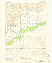
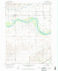
Other maps of this area

1896 · Stromsburg
USGS Topo · 1:125,000

1955 · Fremont
USGS Topo · 1:250,000

1957 · Fremont
USGS Topo · 1:250,000

1958 · Fremont
USGS Topo · 1:250,000
1958 · Genoa
USGS Topo · 1:24,000
1958 · Monroe
USGS Topo · 1:24,000
1958 · Fullerton NE
USGS Topo · 1:24,000
1958 · St. Edward
USGS Topo · 1:24,000
1966 · Newman Grove
USGS Topo · 1:24,000
1966 · Tarnov
USGS Topo · 1:24,000