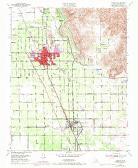
1951 Map of Lindsay
USGS Topo · Published 1971About this map
The citrus-growing heart of Tulare County is captured during its mid-century development, where the grid of Lindsay expands against the rising foothills of Elephant Back and Lindsay Peak. The landscape is a study in agricultural infrastructure, dominated by the massive Friant-Kern Canal as it cuts south toward Strathmore. The transition from the flat valley floor to the Sierra Nevada foothills is marked by distinctive local landmarks like Chrysoprase Hill and Todd Hill, while the valley itself is a dense network of orchards served by the Southern Pacific and Atchison Topeka and Santa Fe railroads.
Find a feature on this map
65 named features on this map. Tap any name to fly to it.
Don’t see what you’re looking for? This feature index may not catch every label — zoom into the map to look around manually.
Map Details
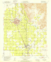
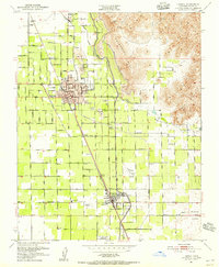
Editions of this 1951 Lindsay Map
3 editions found
Other maps of this area

1904 · Kaweah
USGS Topo · 1:125,000

1909 · Kaweah
USGS Topo · 1:125,000

1925 · Rocky Hill
USGS Topo · 1:31,680

1926 · Exeter
USGS Topo · 1:31,680

1927 · Cairns Corner
USGS Topo · 1:31,680

1927 · Rocky Hill
USGS Topo · 1:31,680

1928 · Woodville
USGS Topo · 1:31,680

1928 · Lindsay
USGS Topo · 1:31,680

1929 · Porterville
USGS Topo · 1:31,680

1937 · Kaweah
USGS Topo · 1:125,000