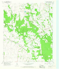
1964 Map of Line Branch
USGS Topo · Published 1967About this map
Fulbright and Lone Star anchor this rural Northeast Texas landscape, where the meandering course of Cuthand Creek and its many tributaries, including Scatter Creek and Gouchy Creek, define the topography. The mid-1960s environment reveals a dispersed settlement pattern typical of Red River County, characterized by small communities like Liberty and family-named locales such as Graves and McCoy. Local history is deeply embedded in the land through numerous burial grounds, including the Thompson Cem and Catonville Cem, which often represent the only remaining markers of earlier homesteads.
Find a feature on this map
21 named features on this map. Tap any name to fly to it.
Don’t see what you’re looking for? This feature index may not catch every label — zoom into the map to look around manually.
Map Details
Editions of this 1964 Line Branch Map
This is the sole edition of this map. No revisions or reprints were ever made.
Other maps of this area

1953 · Texarkana
USGS Topo · 1:250,000

1956 · Texarkana
USGS Topo · 1:250,000

1963 · Cunningham
USGS Topo · 1:24,000

1964 · Detroit
USGS Topo · 1:24,000

1964 · Deport
USGS Topo · 1:24,000

1964 · Bagwell
USGS Topo · 1:24,000

1964 · Cuthand
USGS Topo · 1:24,000

1964 · Bogata
USGS Topo · 1:24,000
1964 · Dimple
USGS Topo · 1:24,000
1964 · Clarksville
USGS Topo · 1:24,000