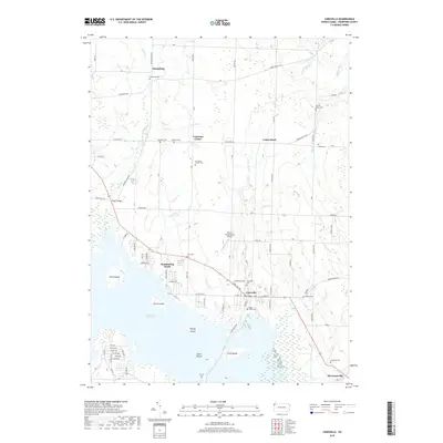
2019 Map of Linesville
USGS Topo · Published 2019About this map
Linesville serves as the primary hub on this Crawford County landscape, where the local road network converges near the expansive northern waters of the Pymatuning Reservoir. The surrounding rural landscape is defined by small crossroads settlements like Steamburg, Conneaut Center, and Shermansville, each maintaining a distinct identity through their local cemeteries and church grounds. Genealogists will find an exceptional density of family and community burial sites, including the Manning Cem, Baldwin Cem, and Sacred Heart Cem.
Find a feature on this map
92 named features on this map. Tap any name to fly to it.
Don’t see what you’re looking for? This feature index may not catch every label — zoom into the map to look around manually.
Map Details
Editions of this 2019 Linesville Map
This is the sole edition of this map. No revisions or reprints were ever made.
Other maps of this area

1900 · Girard
USGS Topo · 1:62,500

1905 · Andover
USGS Topo · 1:48,000

1906 · Conneaut
USGS Topo · 1:62,500

1906 · Linesville
USGS Topo · 1:62,500

1907 · Andover
USGS Topo · 1:62,500

1908 · Linesville
USGS Topo · 1:62,500

1950 · Cleveland
USGS Topo · 1:250,000

1956 · Cleveland
USGS Topo · 1:250,000

1959 · Conneautville
USGS Topo · 1:24,000

1959 · Hartstown
USGS Topo · 1:24,000
Featured Places
- Linesville, PA
- North Shenango Township, PA
- Summerhill Township, PA
- Tuttle Lake, Pymatuning Central
- Conneaut Center, PA