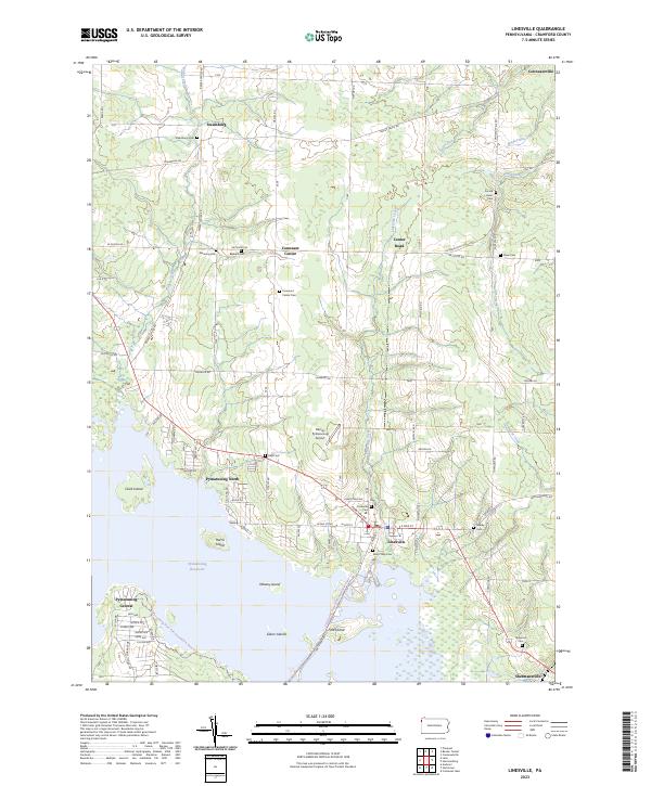
2023 Map of Linesville
USGS Topo · Published 2023About this map
Pymatuning Reservoir dominates the southern landscape of this Crawford County region, where the shoreline is dotted with named landmasses like Whaley Island and Ford Island. The settlement of Linesville serves as a local hub, situated near the intersection of the Penn Line Rd and several rail corridors. The surrounding countryside is defined by a dense network of family-named cemeteries and small rural hamlets including Steamburg, Conneaut Center, and Shermansville, reflecting a long-standing pattern of agricultural land use and community burial grounds.
Find a feature on this map
92 named features on this map. Tap any name to fly to it.
Don’t see what you’re looking for? This feature index may not catch every label — zoom into the map to look around manually.
Map Details
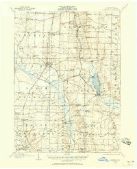
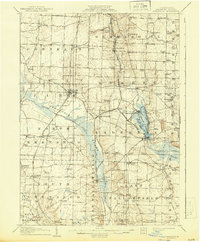
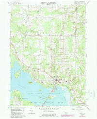
Editions of this 2023 Linesville Map
This is the sole edition of this map. No revisions or reprints were ever made.
Historical Maps of Dantown Through Time
4 maps found
Featured Locations
- Linesville, PA
- Summerhill Township, PA
- Pine Township, PA
- Sadsbury Township, PA
- Steamburg, Conneaut Township