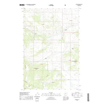
2020 Map of Lingshire
USGS Topo · Published 2020About this map
Lingshire stands as the primary reference point in this corner of Meagher County, situated where Lingshire Rd winds through the hills. This 2020 survey reveals a landscape of high-elevation drainages and prominent ridges, much of which is contained within the Helena National Forest. The map documents a complex system of seasonal and perennial water sources, including Antelope Creek and Rock Creek, which cut through deeply etched terrain features such as Calamity Gulch and Buffalo Canyon.
Find a feature on this map
27 named features on this map. Tap any name to fly to it.
Don’t see what you’re looking for? This feature index may not catch every label — zoom into the map to look around manually.
Map Details
Editions of this 2020 Lingshire Map
This is the sole edition of this map. No revisions or reprints were ever made.
Other maps of this area

1886 · Fort Logan
USGS Topo · 1:250,000

1948 · White Sulphur Springs
USGS Topo · 1:250,000

1950 · Canyon Ferry
USGS Topo · 1:62,500

1958 · White Sulphur Springs
USGS Topo · 1:250,000

1961 · White Sulphur Springs
USGS Topo · 1:250,000

1962 · B K Ranch
USGS Topo · 1:24,000

1962 · Snedaker Basin
USGS Topo · 1:24,000

1965 · White Sulphur Springs
USGS Topo · 1:250,000

1966 · Lingshire
USGS Topo · 1:24,000

1966 · Whites City
USGS Topo · 1:24,000