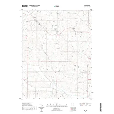
2017 Map of Linn
USGS Topo · Published 2017About this map
Linn serves as the primary hub in this central Missouri landscape, where the State Technical College of Missouri and its adjacent State Technical College of Missouri Airport define the local infrastructure. The terrain is deeply etched by a network of waterways including Swan Cr, Owens Cr, and Pointers Cr, all eventually draining toward the Gasconade River in the southern portion of the quadrangle. Smaller rural settlements like Potts and Judge anchor the eastern hills, connected by a web of county routes and state highways.
Find a feature on this map
94 named features on this map. Tap any name to fly to it.
Don’t see what you’re looking for? This feature index may not catch every label — zoom into the map to look around manually.
Map Details
Editions of this 2017 Linn Map
This is the sole edition of this map. No revisions or reprints were ever made.
Other maps of this area

1890 · Fulton
USGS Topo · 1:125,000

1934 · Linn
USGS Topo · 1:48,000

1934 · Bland
USGS Topo · 1:62,500

1935 · Morrison
USGS Topo · 1:48,000

1937 · Bland
USGS Topo · 1:62,500

1942 · Linn
USGS Topo · 1:62,500

1942 · Morrison
USGS Topo · 1:62,500

1945 · Mokane
USGS Topo · 1:62,500

1945 · Morrison
USGS Topo · 1:62,500

1945 · Linn
USGS Topo · 1:62,500