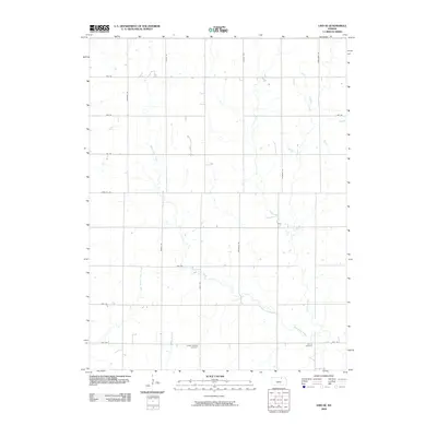
2009 Map of Linn SE
USGS Topo · Published 2009About this map
West Fancy Creek and its various tributaries define the agricultural landscape of this portion of Washington County. The map reveals a strict section-line road grid, including primary routes like Parallel Rd and Sunflower Rd, which segment the rolling plains. Two primary focal points for family historians are Center Mission Cemetery, located near Quail Rd, and Central Cemetery to the southeast. A notable curious label on the map is Fact, situated along Carter Creek. This era of the Kansas landscape shows a settled rural environment where the primary drainage systems, including East Branch Dry Creek and Spring Creek, remain the dominant natural features amidst a highly organized human infrastructure of gravel and improved roads.
Find a feature on this map
22 named features on this map. Tap any name to fly to it.
Don’t see what you’re looking for? This feature index may not catch every label — zoom into the map to look around manually.
Map Details
Editions of this 2009 Linn SE Map
This is the sole edition of this map. No revisions or reprints were ever made.
Other maps of this area

1886 · Junction City
USGS Topo · 1:125,000

1889 · Marysville
USGS Topo · 1:125,000

1889 · Junction City
USGS Topo · 1:125,000

1891 · Clay Center
USGS Topo · 1:125,000

1893 · Washington
USGS Topo · 1:125,000

1894 · Junction City
USGS Topo · 1:125,000

1894 · Marysville
USGS Topo · 1:125,000

1955 · Manhattan
USGS Topo · 1:250,000

1956 · Manhattan
USGS Topo · 1:250,000

1957 · Manhattan
USGS Topo · 1:250,000