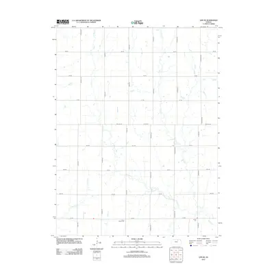
2012 Map of Linn SE
USGS Topo · Published 2012About this map
The agrarian landscape of Washington County is defined by a rigid section-line road network and the meandering drainage of W Fancy Cr and its tributaries. Near the intersection of 27th Rd and Prairie Rd, the Mission Cem serves as a quiet marker of the area's early community foundations. To the east, another historical anchor, Central Cem, is situated near Thunder Rd.
Find a feature on this map
26 named features on this map. Tap any name to fly to it.
Don’t see what you’re looking for? This feature index may not catch every label — zoom into the map to look around manually.
Map Details
Editions of this 2012 Linn SE Map
This is the sole edition of this map. No revisions or reprints were ever made.
Other maps of this area

1886 · Junction City
USGS Topo · 1:125,000

1889 · Marysville
USGS Topo · 1:125,000

1889 · Junction City
USGS Topo · 1:125,000

1891 · Clay Center
USGS Topo · 1:125,000

1893 · Washington
USGS Topo · 1:125,000

1894 · Junction City
USGS Topo · 1:125,000

1894 · Marysville
USGS Topo · 1:125,000

1955 · Manhattan
USGS Topo · 1:250,000

1956 · Manhattan
USGS Topo · 1:250,000

1957 · Manhattan
USGS Topo · 1:250,000