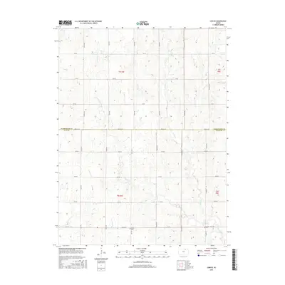
2015 Map of Linn SE
USGS Topo · Published 2015About this map
The agricultural landscape along the border of Washington and Clay Counties is defined by a grid of rural roads and a network of northward-flowing streams. The terrain is carved by W Fancy Cr and Carter Cr, which weave through the townships of t5s r3e, t5s r4e, t6s r3e, and t6s r4e. This section of Kansas retains its traditional land divisions, with major thoroughfares like Parallel Rd and Co Rd 368 providing the primary east-west transit across the county line.
Find a feature on this map
31 named features on this map. Tap any name to fly to it.
Don’t see what you’re looking for? This feature index may not catch every label — zoom into the map to look around manually.
Map Details
Editions of this 2015 Linn SE Map
This is the sole edition of this map. No revisions or reprints were ever made.
Other maps of this area

1886 · Junction City
USGS Topo · 1:125,000

1889 · Marysville
USGS Topo · 1:125,000

1889 · Junction City
USGS Topo · 1:125,000

1891 · Clay Center
USGS Topo · 1:125,000

1893 · Washington
USGS Topo · 1:125,000

1894 · Junction City
USGS Topo · 1:125,000

1894 · Marysville
USGS Topo · 1:125,000

1955 · Manhattan
USGS Topo · 1:250,000

1956 · Manhattan
USGS Topo · 1:250,000

1957 · Manhattan
USGS Topo · 1:250,000