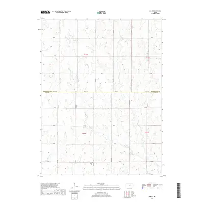
2018 Map of Linn SE
USGS Topo · Published 2018About this map
W Fancy Cr and its various tributaries, including Carter Cr and Spring Cr, carve a complex drainage pattern across this section of the Kansas prairie. Located along the boundary between Washington and Clay counties, the landscape is defined by a rigid grid of rural routes such as Parallel Rd and Sunflower Rd. This network connects isolated farmsteads and agricultural plots, reflecting the enduring township and range survey system that organized the region's development.
Find a feature on this map
30 named features on this map. Tap any name to fly to it.
Don’t see what you’re looking for? This feature index may not catch every label — zoom into the map to look around manually.
Map Details
Editions of this 2018 Linn SE Map
This is the sole edition of this map. No revisions or reprints were ever made.
Other maps of this area

1886 · Junction City
USGS Topo · 1:125,000

1889 · Marysville
USGS Topo · 1:125,000

1889 · Junction City
USGS Topo · 1:125,000

1891 · Clay Center
USGS Topo · 1:125,000

1893 · Washington
USGS Topo · 1:125,000

1894 · Junction City
USGS Topo · 1:125,000

1894 · Marysville
USGS Topo · 1:125,000

1955 · Manhattan
USGS Topo · 1:250,000

1956 · Manhattan
USGS Topo · 1:250,000

1957 · Manhattan
USGS Topo · 1:250,000