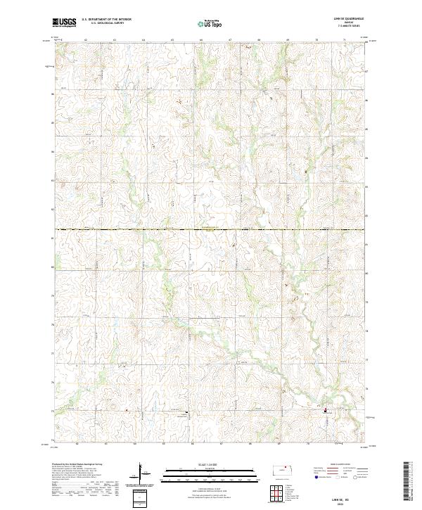
2022 Map of Linn SE
USGS Topo · Published 2022About this map
W Fancy Cr and its various tributaries carve a complex drainage pattern across the border of Washington and Clay counties. This agricultural landscape is defined by a rigid grid of rural roads, including Osage Rd, Sunflower Rd, and Thunder Rd, which follow the section lines of the Public Land Survey System. The area maintains a quiet, rural character focused on land management and small-scale watercourses like Spring Cr and Carter Cr. Significant for local family researchers, the map identifies key burial sites such as Central Cem and the Center Mission Cem, the latter situated near the junction of Co Rd 368 and Qual Rd. The transition between the northern and southern townships is marked by the Parallel Rd, which serves as the primary county line divider.
Find a feature on this map
27 named features on this map. Tap any name to fly to it.
Don’t see what you’re looking for? This feature index may not catch every label — zoom into the map to look around manually.
Map Details
Editions of this 2022 Linn SE Map
This is the sole edition of this map. No revisions or reprints were ever made.
Other maps of this area

1886 · Junction City
USGS Topo · 1:125,000

1889 · Marysville
USGS Topo · 1:125,000

1889 · Junction City
USGS Topo · 1:125,000

1891 · Clay Center
USGS Topo · 1:125,000

1893 · Washington
USGS Topo · 1:125,000

1894 · Junction City
USGS Topo · 1:125,000

1894 · Marysville
USGS Topo · 1:125,000

1955 · Manhattan
USGS Topo · 1:250,000

1956 · Manhattan
USGS Topo · 1:250,000

1957 · Manhattan
USGS Topo · 1:250,000