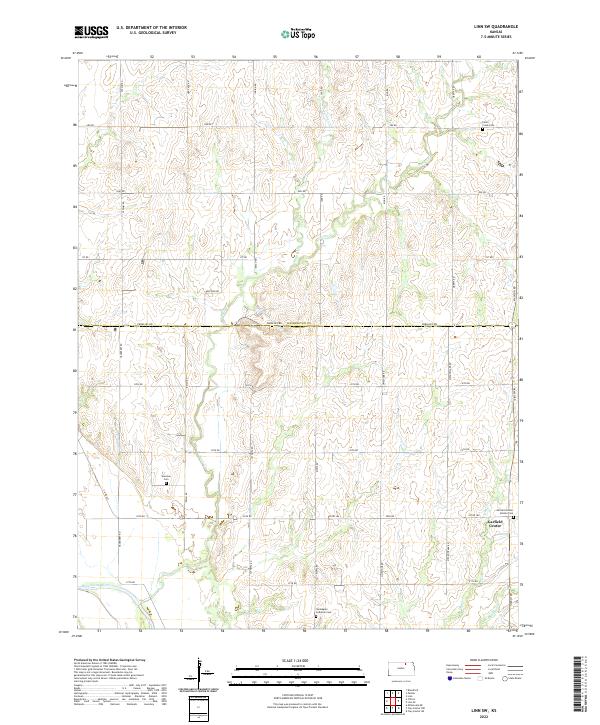
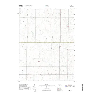
2022 Map of Linn SW
USGS Topo · Published 2022About this map
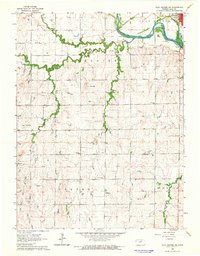
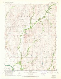
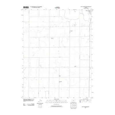
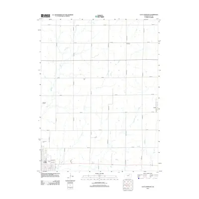
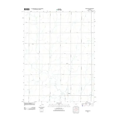
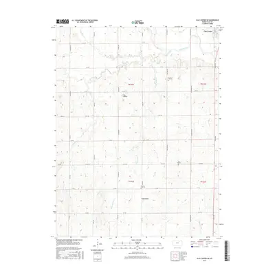
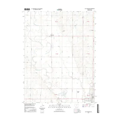
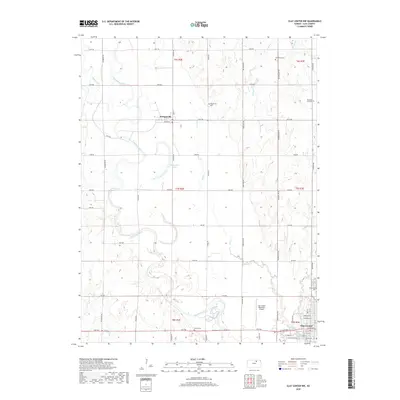
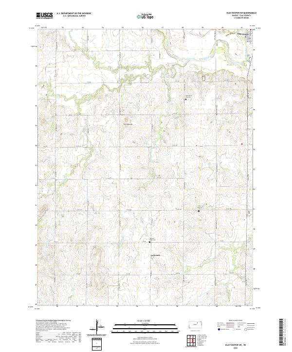
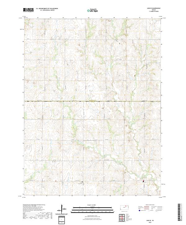
The small settlement of Garfield Center anchors the southeastern corner of this landscape, situated along the county line where Washington and Clay Counties meet. This agricultural region is defined by the drainage networks of several prairie streams, most notably Peats Cr and Spring Cr, which carve through the terrain as they move toward the Republican River in the south. The distribution of cultural landmarks suggests a deeply rooted farming community, characterized by scattered rural burial grounds that speak to the early settlement of the townships. Researchers can find the Sherman Cem, Peats Creek Cem, and the Norwegian Lutheran Cem positioned across the quadrangle, alongside the Garfield Center Mission Cem near the central hamlet. A dense grid of numbered and named roads, such as Jayhawk Rd and Heritage Rd, connects these remote sites across the rolling Kansas hills.
Find a feature on this map
38 named features on this map. Tap any name to fly to it.
Don’t see what you’re looking for? This feature index may not catch every label — zoom into the map to look around manually.
Map Details
Editions of this 2022 Linn SW Map
This is the sole edition of this map. No revisions or reprints were ever made.
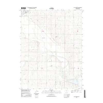
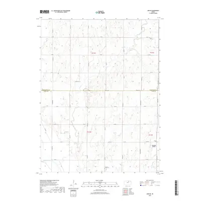
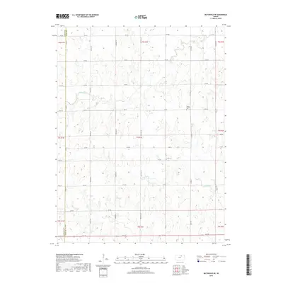
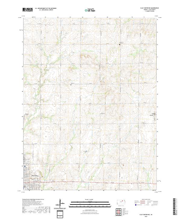
Historical Maps of Garfield Center Through Time
48 maps found
1964 Clay Center NE
Clay County, KS
1964 Clay Center NW
Clay County, KS
1964 Clay Center SE
Clay County, KS
1964 Clay Center SW
Clay County, KS
1964 Industry
Clay County, KS
1964 Miltonvale NE
Clay County, KS
1968 Linn SE
Clay County, KS
1968 Linn SW
Clay County, KS
2009 Clay Center NE
Clay County, KS
2009 Clay Center NW
Clay County, KS
2009 Clay Center SE
Clay County, KS
2009 Clay Center SW
Clay County, KS
2009 Industry
Clay County, KS
2009 Linn SE
Clay County, KS

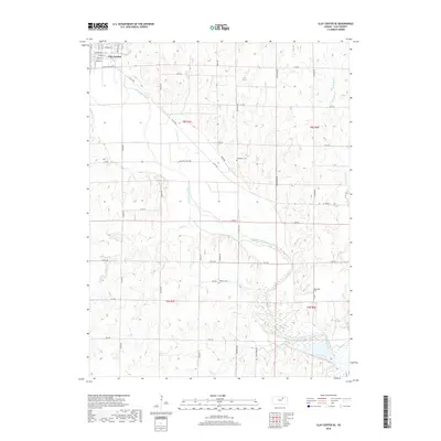
2009 Linn SW
Clay County, KS
2009 Miltonvale NE
Clay County, KS
2012 Clay Center NE
Clay County, KS
2012 Clay Center NW
Clay County, KS
2012 Clay Center SE
Clay County, KS
2012 Clay Center SW
Clay County, KS
2012 Industry
Clay County, KS
2012 Linn SE
Clay County, KS
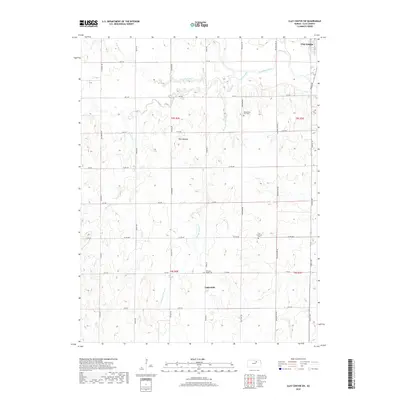
2012 Linn SW
Clay County, KS
2012 Miltonvale NE
Clay County, KS
2015 Clay Center SW
Clay County, KS
2015 Industry
Clay County, KS

2015 Linn SE
Clay County, KS
2015 Linn SW
Clay County, KS
2016 Clay Center NE
Clay County, KS
2016 Clay Center NW
Clay County, KS
2016 Clay Center SE
Clay County, KS
2016 Miltonvale NE
Clay County, KS
2018 Clay Center NE
Clay County, KS
2018 Clay Center NW
Clay County, KS
2018 Clay Center SE
Clay County, KS
2018 Clay Center SW
Clay County, KS
2018 Industry
Clay County, KS
2018 Linn SE
Clay County, KS
2018 Linn SW
Clay County, KS
2018 Miltonvale NE
Clay County, KS
2022 Clay Center NE
Clay County, KS
2022 Clay Center NW
Clay County, KS
2022 Clay Center SE
Clay County, KS
2022 Clay Center SW
Clay County, KS
2022 Industry
Clay County, KS
2022 Linn SE
Clay County, KS
2022 Linn SW
Clay County, KS
2022 Miltonvale NE
Clay County, KS