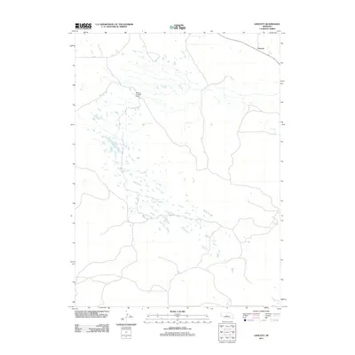
2011 Map of Linscott
USGS Topo · Published 2011About this map
Linscott and the surrounding high plains of Blaine County define this landscape in the early 21st century. This region of Nebraska is characterized by its sparse settlement and the vast, intricate network of small seasonal water bodies and depressions that dot the terrain. The presence of the McGinn Landing Strip underscores the reliance on private aviation for navigating this isolated section of the Sandhills, where road access is limited to a few local routes like Co RD-8. The map reveals the intricate drainage patterns and natural topography of a territory where human footprints are few and far between, centered on the small namesake community of Linscott.
Find a feature on this map
3 named features on this map. Tap any name to fly to it.
Don’t see what you’re looking for? This feature index may not catch every label — zoom into the map to look around manually.
Map Details
Editions of this 2011 Linscott Map
This is the sole edition of this map. No revisions or reprints were ever made.
Other maps of this area

1948 · Linscott
USGS Topo · 1:62,500

1950 · Linscott
USGS Topo · 1:62,500

1951 · Dunning
USGS Topo · 1:62,500

1951 · Anselmo SW
USGS Topo · 1:24,000

1951 · Anselmo NW
USGS Topo · 1:24,000

1952 · Brewster SW
USGS Topo · 1:24,000

1954 · North Platte
USGS Topo · 1:250,000

1955 · Broken Bow
USGS Topo · 1:250,000

1956 · Broken Bow
USGS Topo · 1:250,000

1956 · North Platte
USGS Topo · 1:250,000