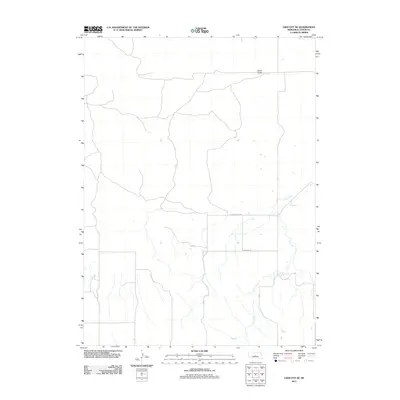
2011 Map of Linscott SE
USGS Topo · Published 2011About this map
Sand Valley and the surrounding rangeland of Custer County are defined here by a network of rural routes and intermittent watercourses. The drainage of Dry Creek winds through the landscape, illustrating the topographical reliance on seasonal water in this part of the Nebraska Sandhills. Local transportation is anchored by a grid of designated section roads, including Min Main Rd, 15 Rd, and 13 Rd, which facilitate movement between scattered homesteads and larger grazing tracts. The map also highlights Eureka Valley Rd, a primary connector through the valley floor. This 2011 survey reflects the enduring rural character of the region, where the spatial organization is dictated by the natural contours of the valley systems and the requirements of modern ranching logistics.
Find a feature on this map
7 named features on this map. Tap any name to fly to it.
Don’t see what you’re looking for? This feature index may not catch every label — zoom into the map to look around manually.
Map Details
Editions of this 2011 Linscott SE Map
This is the sole edition of this map. No revisions or reprints were ever made.
Other maps of this area

1948 · Linscott
USGS Topo · 1:62,500

1950 · Linscott
USGS Topo · 1:62,500

1951 · Callaway NW
USGS Topo · 1:24,000

1951 · Anselmo SW
USGS Topo · 1:24,000

1951 · Anselmo NW
USGS Topo · 1:24,000

1954 · North Platte
USGS Topo · 1:250,000

1955 · Broken Bow
USGS Topo · 1:250,000

1956 · Broken Bow
USGS Topo · 1:250,000

1956 · North Platte
USGS Topo · 1:250,000

1957 · North Platte
USGS Topo · 1:250,000