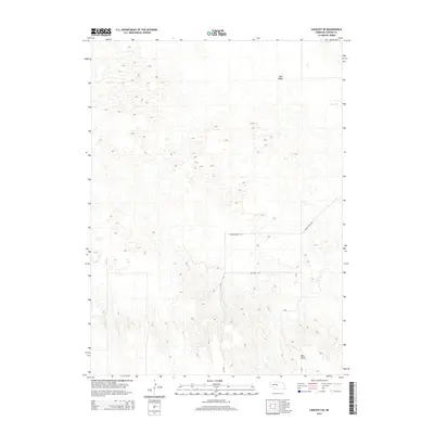
2014 Map of Linscott SE
USGS Topo · Published 2014About this map
Sand Valley and Eureka Valley characterize the topography of this portion of Custer County, where the transition from sandhills to more table-like landforms is evident. The landscape is defined by the ephemeral drainage of Dry Cr and the plateau of West Table, illustrating the unique geomorphology of central Nebraska. Transportation in the area relies on a grid of rural routes including Min Main Rd, 15 Rd, and Eureka Valley Rd, which follow the section lines common in agricultural surveying. This 2014 edition captures the land use patterns of the region, showing the sparse development and large-scale geographic features that have influenced settlement and ranching in the county for generations.
Find a feature on this map
8 named features on this map. Tap any name to fly to it.
Don’t see what you’re looking for? This feature index may not catch every label — zoom into the map to look around manually.
Map Details
Editions of this 2014 Linscott SE Map
This is the sole edition of this map. No revisions or reprints were ever made.
Other maps of this area

1948 · Linscott
USGS Topo · 1:62,500

1950 · Linscott
USGS Topo · 1:62,500

1951 · Callaway NW
USGS Topo · 1:24,000

1951 · Anselmo SW
USGS Topo · 1:24,000

1951 · Anselmo NW
USGS Topo · 1:24,000

1954 · North Platte
USGS Topo · 1:250,000

1955 · Broken Bow
USGS Topo · 1:250,000

1956 · Broken Bow
USGS Topo · 1:250,000

1956 · North Platte
USGS Topo · 1:250,000

1957 · North Platte
USGS Topo · 1:250,000