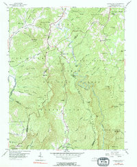
1956 Map of Linville Falls
USGS Topo · Published 1984About this map
The dramatic canyon of the Linville Gorge dominates this mid-century landscape within the Pisgah National Forest. The topography centers on the descent of the Linville River, which drops through the falls and snakes southward past Wisemans View and Linville Caverns. Settlement is concentrated along the ridges and higher basins, where the Blue Ridge Parkway follows the crest near Altamont. Local life is anchored by small rural institutions like Pisgah Ch, Concord Ch, and the Wise Cem, while the southern reaches of the map show the engineering of the Clinchfield railroad line as it navigates the steep ascent of Honeycutt Loop. The sheer density of named peaks, including Hawksbill Mtn and Tablerock Mtn, underscores a region defined by its formidable natural barriers and isolated high-altitude communities.
Find a feature on this map
70 named features on this map. Tap any name to fly to it.
Don’t see what you’re looking for? This feature index may not catch every label — zoom into the map to look around manually.
Map Details
Editions of this 1956 Linville Falls Map
4 editions found
Other maps of this area

1891 · Roan Mountain
USGS Topo · 1:125,000

1893 · Cranberry
USGS Topo · 1:125,000

1894 · Roan Mountain
USGS Topo · 1:125,000

1895 · Cranberry
USGS Topo · 1:125,000

1899 · Cranberry
USGS Topo · 1:125,000

1900 · Mount Mitchell
USGS Topo · 1:125,000

1902 · Cranberry
USGS Topo · 1:125,000

1902 · Mount Mitchell
USGS Topo · 1:125,000

1904 · Roan Mountain
USGS Topo · 1:125,000

1905 · Morganton
USGS Topo · 1:125,000