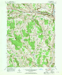
1949 Map of Lisle
USGS Topo · Published 1970About this map
The Tioughnioga River and the Delaware Lackawanna & Western railroad corridor anchor the eastern edge of this late 1940s landscape, where the village of Lisle serves as a primary hub. The northern terrain is defined by the east-west passage of the Catskill Turnpike through Dudley Creek valley, connecting small hamlets like Center Lisle and Manningville. This area of Broome County is characterized by upland ridges such as Owen Hill and Whiting Hill that separate the river valleys.
Find a feature on this map
42 named features on this map. Tap any name to fly to it.
Don’t see what you’re looking for? This feature index may not catch every label — zoom into the map to look around manually.
Map Details
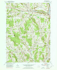
Editions of this 1949 Lisle Map
2 editions found
Other maps of this area

1901 · Apalachin
USGS Topo · 1:62,500

1903 · Harford
USGS Topo · 1:62,500

1904 · Binghamton
USGS Topo · 1:62,500

1904 · Greene
USGS Topo · 1:62,500

1904 · Apalachin
USGS Topo · 1:62,500

1906 · Catatonk
USGS Topo · 1:125,000

1934 · Castle Creek
USGS Topo · 1:24,000

1942 · Castle Creek
USGS Topo · 1:31,680

1948 · Binghamton
USGS Topo · 1:250,000
1949 · Whitney Point
USGS Topo · 1:24,000