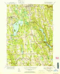
1950 Map of Litchfield
USGS Topo · Published 1950About this map
Bantam Lake dominates this 1950 survey, serving as a focal point for the surrounding towns of Litchfield, Morris, and Bethlehem. The landscape is defined by its sophisticated water management system, featuring a series of reservoirs including Pitch Reservoir, Morris Reservoir, and Wigwam Reservoir that follow the natural topography south toward Watertown. Small agricultural and residential clusters like Bantam and East Morris are connected by a network of rural roads such as Anderson Rd and Judd Farm Road.
Find a feature on this map
83 named features on this map. Tap any name to fly to it.
Don’t see what you’re looking for? This feature index may not catch every label — zoom into the map to look around manually.
Map Details
Editions of this 1950 Litchfield Map
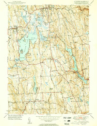
2 editions found
Other maps of this area

1892 · Winsted
USGS Topo · 1:62,500

1892 · Cornwall
USGS Topo · 1:62,500

1892 · New Milford
USGS Topo · 1:62,500

1893 · Waterbury
USGS Topo · 1:62,500

1893 · New Milford
USGS Topo · 1:62,500

1893 · Cornwall
USGS Topo · 1:62,500

1903 · Cornwall
USGS Topo · 1:62,500

1904 · New Milford
USGS Topo · 1:62,500

1904 · Waterbury
USGS Topo · 1:62,500

1904 · Litchfield
USGS Topo · 1:125,000