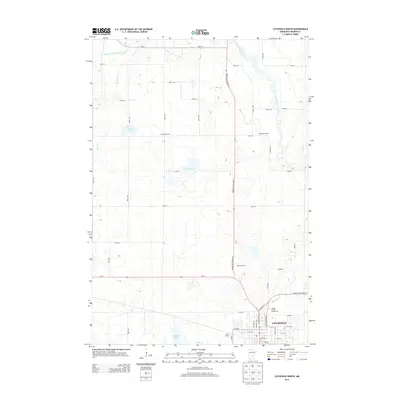
2013 Map of Litchfield North
USGS Topo · Published 2013About this map
Litchfield serves as the focal point for this survey of south-central Minnesota, anchored by the Meeker County Fairgrounds and the Post Office in the town's southeast corner. The landscape is defined by the intersection of major transit corridors, including Us-12, Minnesota Highway 22, and Minnesota Highway 24, which provide access to a mix of family-owned agricultural operations and recreational sites. Named properties like Weseman Farms, Reflection Farm, and Fortun Farms dot the countryside, illustrating the region's enduring farming heritage.
Find a feature on this map
50 named features on this map. Tap any name to fly to it.
Don’t see what you’re looking for? This feature index may not catch every label — zoom into the map to look around manually.
Map Details
Editions of this 2013 Litchfield North Map
This is the sole edition of this map. No revisions or reprints were ever made.
Other maps of this area

1953 · Saint Cloud
USGS Topo · 1:250,000

1957 · Saint Cloud
USGS Topo · 1:250,000

1958 · Saint Cloud
USGS Topo · 1:250,000

1958 · Dassel
USGS Topo · 1:62,500

1967 · Grove City
USGS Topo · 1:24,000

1967 · Litchfield South
USGS Topo · 1:24,000

1967 · Litchfield North
USGS Topo · 1:24,000

1967 · Lake Koronis
USGS Topo · 1:24,000
1967 · Rosendale
USGS Topo · 1:24,000

1967 · Watkins
USGS Topo · 1:24,000