
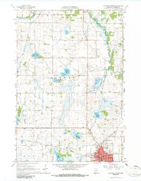
1967 Map of Litchfield North
USGS Topo · Published 1968About this map
Litchfield anchors the southern edge of this mid-century survey, revealing the city's structure just as the 1960s were coming to a close. The layout includes civic essentials like the Po, City Hall, and the Wagner Armory, alongside educational landmarks such as St Phillips Sch and the High Sch. The Great Northern railroad tracks cut a definitive line through the town, illustrating the continuing importance of rail transport to this Meeker County hub.
Find a feature on this map
38 named features on this map. Tap any name to fly to it.
Don’t see what you’re looking for? This feature index may not catch every label — zoom into the map to look around manually.
Map Details
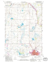
Editions of this 1967 Litchfield North Map
3 editions found
Other maps of this area

1953 · Saint Cloud
USGS Topo · 1:250,000

1957 · Saint Cloud
USGS Topo · 1:250,000

1958 · Saint Cloud
USGS Topo · 1:250,000

1958 · Dassel
USGS Topo · 1:62,500

1967 · Grove City
USGS Topo · 1:24,000

1967 · Litchfield South
USGS Topo · 1:24,000

1967 · Lake Koronis
USGS Topo · 1:24,000
1967 · Rosendale
USGS Topo · 1:24,000

1967 · Watkins
USGS Topo · 1:24,000
1967 · Eden Valley
USGS Topo · 1:24,000