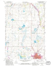
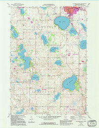
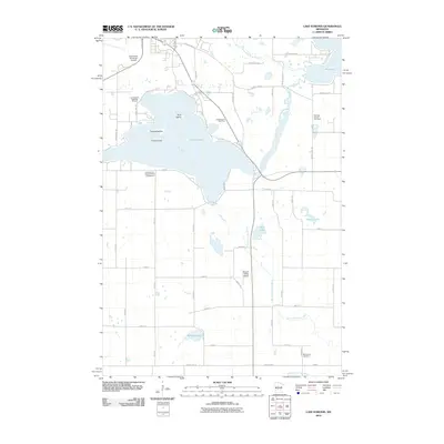
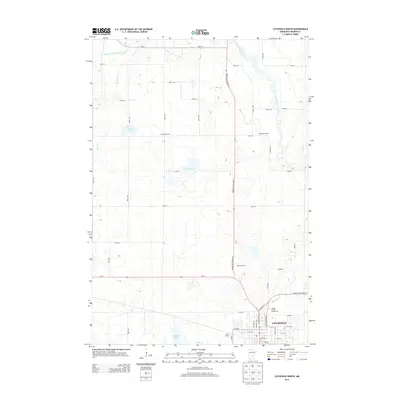
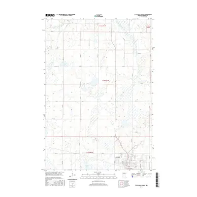
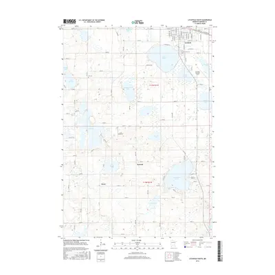
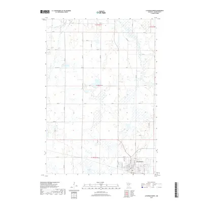
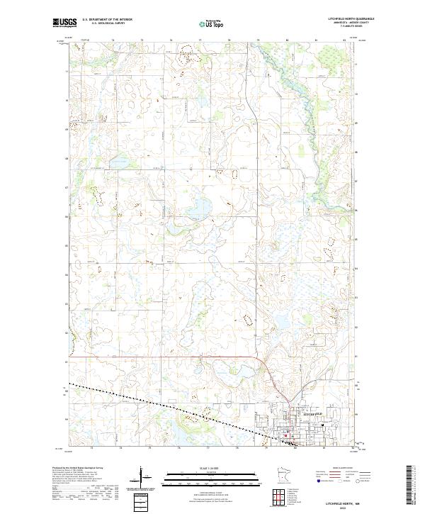
1967 Map of Litchfield North
USGS Topo · Published 1995About this map
The town of Litchfield anchors this mid-century survey of Meeker County, showing the community's layout from Sibley Ave to the Litchfield Municipal Airport. The landscape transitions from the residential blocks of the county seat to a region defined by glacial lakes and conservation efforts. North of town, the Madsen State Wildlife Management Area and two National Waterfowl Production Areas illustrate the state's commitment to habitat preservation. The Middle Fork Crow River meanders through the northeast corner, while smaller bodies of water like Towers Lake, Schultz Lake, and Half Moon Lake dot the countryside. Cultural markers of the era are visible in the Drive-in Theater and the County Fairground, alongside educational institutions such as St Phillips Sch and Wagner Sch, providing a detailed view of local infrastructure before late 20th-century expansions.
Find a feature on this map
46 named features on this map. Tap any name to fly to it.
Don’t see what you’re looking for? This feature index may not catch every label — zoom into the map to look around manually.
Map Details
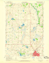
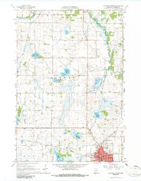
Editions of this 1967 Litchfield North Map
3 editions found
Historical Maps of Litchfield Through Time
30 maps found
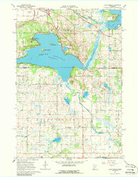
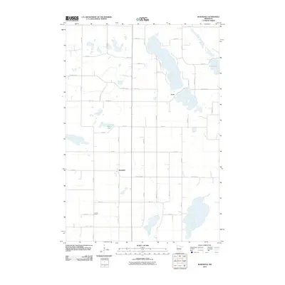
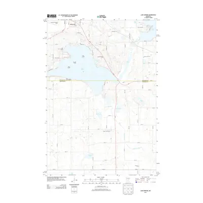
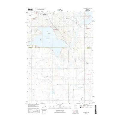
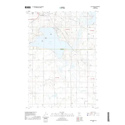
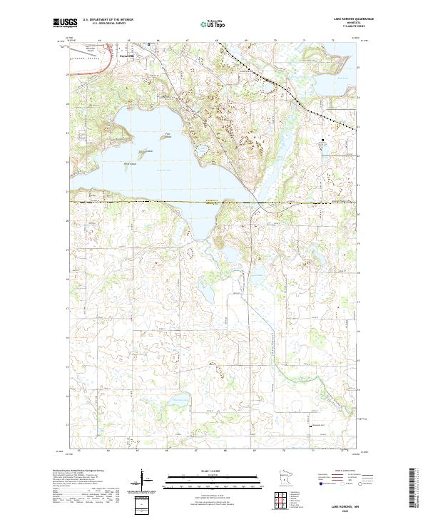
1967 Lake Koronis
Meeker County, MN
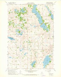
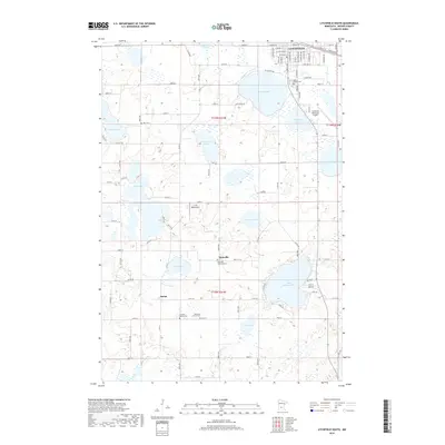
1967 Litchfield North
Meeker County, MN
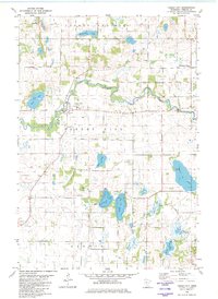
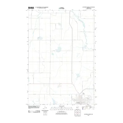
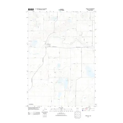
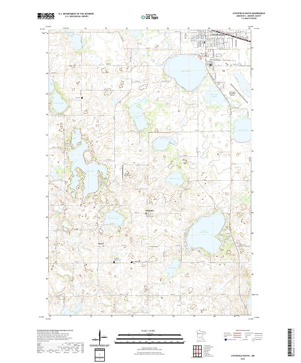
1967 Litchfield South
Meeker County, MN
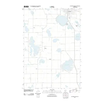
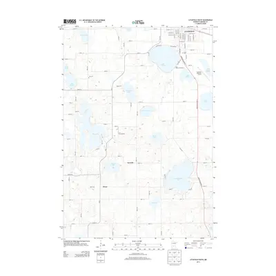
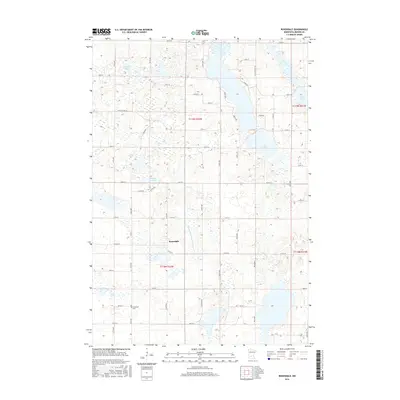
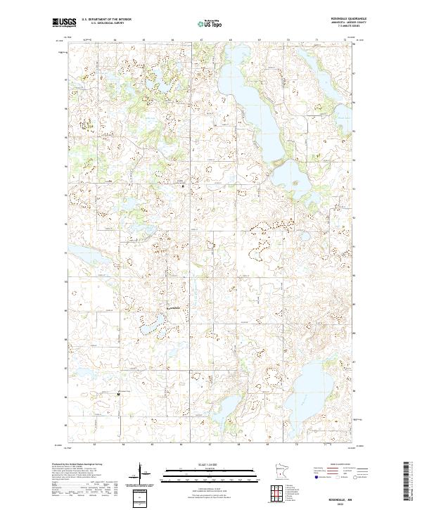
1967 Rosendale
Meeker County, MN
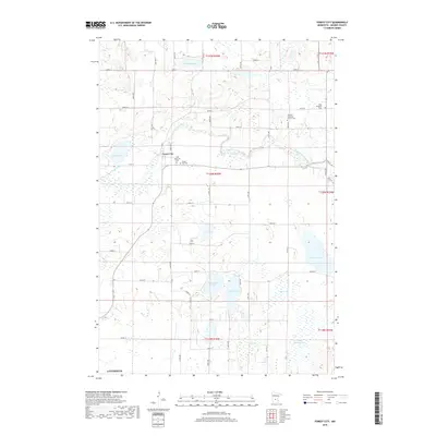
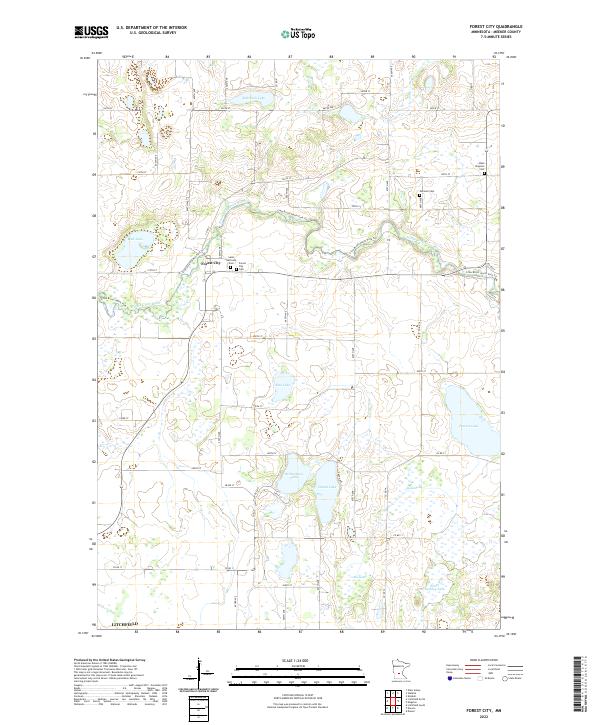
1982 Forest City
Meeker County, MN
2010 Forest City
Meeker County, MN
2010 Lake Koronis
Meeker County, MN
2010 Litchfield North
Meeker County, MN
2010 Litchfield South
Meeker County, MN
2010 Rosendale
Meeker County, MN
2013 Forest City
Meeker County, MN
2013 Lake Koronis
Meeker County, MN
2013 Litchfield North
Meeker County, MN
2013 Litchfield South
Meeker County, MN
2013 Rosendale
Meeker County, MN
2016 Forest City
Meeker County, MN
2016 Lake Koronis
Meeker County, MN
2016 Litchfield North
Meeker County, MN
2016 Litchfield South
Meeker County, MN
2016 Rosendale
Meeker County, MN
2019 Forest City
Meeker County, MN
2019 Lake Koronis
Meeker County, MN
2019 Litchfield North
Meeker County, MN
2019 Litchfield South
Meeker County, MN
2019 Rosendale
Meeker County, MN
2022 Forest City
Meeker County, MN
2022 Lake Koronis
Meeker County, MN
2022 Litchfield North
Meeker County, MN
2022 Litchfield South
Meeker County, MN
2022 Rosendale
Meeker County, MN