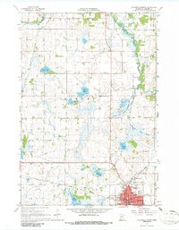
1967 Map of Litchfield North
USGS Topo · Published 1986About this map
The city of Litchfield serves as the focal point in this 1960s Meeker County landscape, situated where the Great Northern railroad corridors and Jewitt's Creek meet. This era reflects the city's role as a regional hub, featuring the County Fairground, the Armory, and a local Drive-in Theater south of Schultz Lake. To the north, the terrain transitions into a glaciated prairie-forest mix dominated by the North Fork Crow River and the Middle Fork Crow River. The land use shows a mix of recreation and conservation at the Madsen State Wildlife Management Area, while scattered educational landmarks like School No 1130 and St Phillips Sch provide specific points of interest for genealogists tracking local family ties and community development.
Find a feature on this map
36 named features on this map. Tap any name to fly to it.
Don’t see what you’re looking for? This feature index may not catch every label — zoom into the map to look around manually.
Map Details
Editions of this 1967 Litchfield North Map
3 editions found
Other maps of this area

1953 · Saint Cloud
USGS Topo · 1:250,000

1957 · Saint Cloud
USGS Topo · 1:250,000

1958 · Saint Cloud
USGS Topo · 1:250,000

1958 · Dassel
USGS Topo · 1:62,500

1967 · Grove City
USGS Topo · 1:24,000

1967 · Litchfield South
USGS Topo · 1:24,000

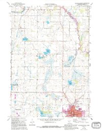
1967 · Litchfield North
USGS Topo · 1:24,000

1967 · Lake Koronis
USGS Topo · 1:24,000
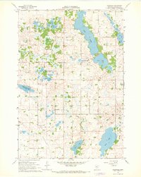
1967 · Rosendale
USGS Topo · 1:24,000

1967 · Watkins
USGS Topo · 1:24,000