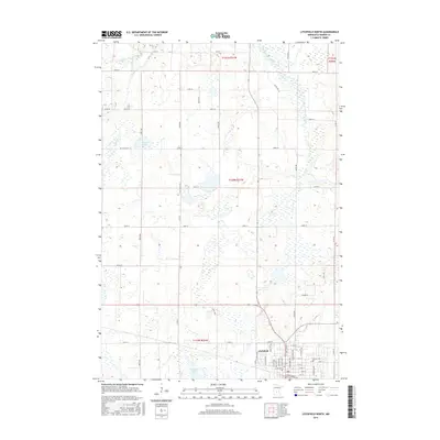
2016 Map of Litchfield North
USGS Topo · Published 2016About this map
Middle Fork Crow River and Grove Cr wind through the northern sections of this Meeker County landscape, where the prairie begins to break into a complex network of wetlands and small basins. The southern portion of the map is anchored by the northern edge of Litchfield, showing the city's transition from an organized street grid—including Park Village—into the surrounding agricultural fields.
Find a feature on this map
56 named features on this map. Tap any name to fly to it.
Don’t see what you’re looking for? This feature index may not catch every label — zoom into the map to look around manually.
Map Details
Editions of this 2016 Litchfield North Map
This is the sole edition of this map. No revisions or reprints were ever made.
Other maps of this area

1953 · Saint Cloud
USGS Topo · 1:250,000

1957 · Saint Cloud
USGS Topo · 1:250,000

1958 · Saint Cloud
USGS Topo · 1:250,000

1958 · Dassel
USGS Topo · 1:62,500

1967 · Grove City
USGS Topo · 1:24,000

1967 · Litchfield South
USGS Topo · 1:24,000

1967 · Litchfield North
USGS Topo · 1:24,000

1967 · Lake Koronis
USGS Topo · 1:24,000
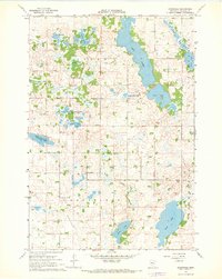
1967 · Rosendale
USGS Topo · 1:24,000

1967 · Watkins
USGS Topo · 1:24,000