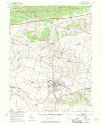
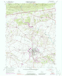
1956 Map of Lititz
USGS Topo · Published 1970About this map
Furnace Hills dominate the northern landscape of this quadrangle, where the Horseshoe Trail winds through protected woodlands and the Cornwall Lookout Tower stands sentinel near the county line. The map captures the agricultural and industrial character of Lancaster County as it appeared in the mid-20th century, centered on the borough of Lititz. This area is a hub of education and faith, evidenced by the Linden Hall Sch and numerous country congregations like Jerusalem Ch and Old Zion Ch.
Find a feature on this map
69 named features on this map. Tap any name to fly to it.
Don’t see what you’re looking for? This feature index may not catch every label — zoom into the map to look around manually.
Map Details
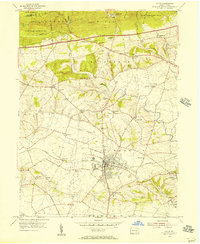
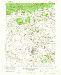
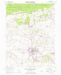
Editions of this 1956 Lititz Map
5 editions found
Other maps of this area

1891 · Lebanon
USGS Topo · 1:62,500

1893 · Lebanon
USGS Topo · 1:62,500

1899 · Lebanon
USGS Topo · 1:62,500

1902 · Wernersville
USGS Topo · 1:62,500

1902 · Lancaster
USGS Topo · 1:62,500

1904 · Lancaster
USGS Topo · 1:62,500

1906 · New Holland
USGS Topo · 1:62,500

1908 · New Holland
USGS Topo · 1:62,500

1941 · New Holland
USGS Topo · 1:62,500

1943 · Lancaster
USGS Topo · 1:62,500