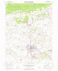
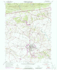
1956 Map of Lititz
USGS Topo · Published 1977About this map
Lititz serves as the focal point of this Lancaster County landscape, characterized by its grid of residential streets and the prominent Linden Hall Sch campus. The surrounding countryside in Warwick and Elizabeth townships reflects a classic Pennsylvania settlement pattern of small crossroads communities and family-named landmarks. Numerous houses of worship, such as Old Zion Ch, Emanuel Ch, and Longneckers Ch, are scattered throughout the agricultural tracts, often situated near local schools like the Fairview Sch or Webster Sch.
Find a feature on this map
77 named features on this map. Tap any name to fly to it.
Don’t see what you’re looking for? This feature index may not catch every label — zoom into the map to look around manually.
Map Details
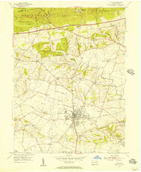
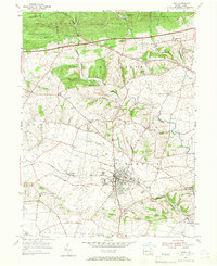
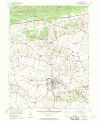
Editions of this 1956 Lititz Map
5 editions found
Other maps of this area

1891 · Lebanon
USGS Topo · 1:62,500

1893 · Lebanon
USGS Topo · 1:62,500

1899 · Lebanon
USGS Topo · 1:62,500

1902 · Wernersville
USGS Topo · 1:62,500

1902 · Lancaster
USGS Topo · 1:62,500

1904 · Lancaster
USGS Topo · 1:62,500

1906 · New Holland
USGS Topo · 1:62,500

1908 · New Holland
USGS Topo · 1:62,500

1941 · New Holland
USGS Topo · 1:62,500

1943 · Lancaster
USGS Topo · 1:62,500