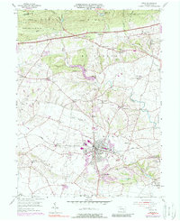
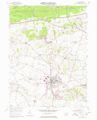
1956 Map of Lititz
USGS Topo · Published 1988About this map
Furnace Hills and the South Mountain range anchor the northern edge of this Lancaster County landscape, where the Horseshoe Trail traverses the high ground of State Game Lands No 156. The map centers on the historic borough of Lititz, notable for the presence of the Linden Hall Sch and its well-defined downtown grid. The surrounding townships of Elizabeth, Penn, and Warwick reveal a dense network of nineteenth-century rural institutions, including the Old Zion Ch and Emanuel Ch. The industrial footprint of the era is evident along the Conrail line, while the drainage patterns of Hammer Creek and Santo Domingo Creek helped shape the location of older mill-side settlements like Millport and Brunnerville. From the prominent Lookout Tower near the Lebanon County line to the expanding suburban reaches of Kissel Hill, the map documents a transition from established agricultural roots to modern transit corridors like the Pennsylvania Turnpike.
Find a feature on this map
66 named features on this map. Tap any name to fly to it.
Don’t see what you’re looking for? This feature index may not catch every label — zoom into the map to look around manually.
Map Details
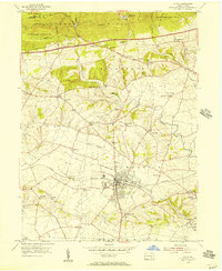
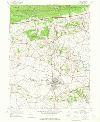
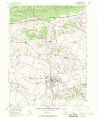
Editions of this 1956 Lititz Map
5 editions found
Other maps of this area

1891 · Lebanon
USGS Topo · 1:62,500

1893 · Lebanon
USGS Topo · 1:62,500

1899 · Lebanon
USGS Topo · 1:62,500

1902 · Wernersville
USGS Topo · 1:62,500

1902 · Lancaster
USGS Topo · 1:62,500

1904 · Lancaster
USGS Topo · 1:62,500

1906 · New Holland
USGS Topo · 1:62,500

1908 · New Holland
USGS Topo · 1:62,500

1941 · New Holland
USGS Topo · 1:62,500

1943 · Lancaster
USGS Topo · 1:62,500