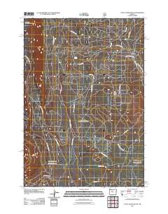
2011 Map of Little Akawa Butte
USGS Topo · Published 2011About this map
Little Akawa Butte and Garrison Butte anchor this high-altitude landscape in the Central Oregon forests. This 2011 survey details a dense network of forest service and logging routes, such as B-S Logging Rd and SW Green Ridge Rd, which trace the ridges and drainages above the lower canyons. The northern portion of the map is dedicated to the Metolius Research Natural Area, a preserved environment near the headwaters of Fly Creek. The presence of labels like Whiskey Spring and the Metolius Windiego Trl suggests a land defined by recreation and timber management. Modern landmarks like The Gap and specialized access routes including SW Squawback Ridge Rd provide a clear view of the complex road systems used for resource management and backcountry exploration during the early 21st century.
Find a feature on this map
21 named features on this map. Tap any name to fly to it.
Don’t see what you’re looking for? This feature index may not catch every label — zoom into the map to look around manually.
Map Details
Editions of this 2011 Little Akawa Butte Map
This is the sole edition of this map. No revisions or reprints were ever made.
Other maps of this area

1926 · Bend
USGS Topo · 1:125,000

1927 · Mt. Jefferson
USGS Topo · 1:125,000

1928 · Madras
USGS Topo · 1:125,000

1929 · Bend
USGS Topo · 1:125,000

1929 · Three Sisters
USGS Topo · 1:125,000

1930 · Mt. Jefferson
USGS Topo · 1:125,000

1931 · Madras
USGS Topo · 1:125,000

1932 · Three Sisters
USGS Topo · 1:125,000

1955 · Bend
USGS Topo · 1:250,000

1957 · Bend
USGS Topo · 1:250,000